

Where is Escalante?
Escalante is a small town in southern Utah, located between Bryce Canyon National Park and Capitol Reef National Park. Nearby is the Grand Staircase-Escalante National Monument, a natural reserve that has been the source of much political controversy since its establishment.
The only access road to the town is Scenic Byway 12, a 124-mile-long (200 km) scenic route that connects the towns of Panguitch and Torrey and passes through stunning nature reserves such as Bryce Canyon, Capitol Reef, Fishlake National Forest, Red Canyon in Dixie National Forest, and Escalante itself.
Escalante is a delightful stop for anyone visiting the national parks of southern Utah who’s looking for a more peaceful setting to enjoy nature—a place where they can find tourist attractions similar to those of its more famous neighbors, but with far fewer people. It’s also an ideal place for hiking and discovering incredible rock formations.
Here are the distances to some cities and tourist destinations to give you an idea:
- Bryce Canyon National Park (Utah): 50 miles or 80 km (1 hour)
- Capitol Reef (Utah): 75 miles or 120 km (1:45 h)
- Zion National Park (Utah): 116 miles or 186 km (2:10 h)
- Page (Arizona): 194 miles or 312 km (3:35 h)
- Moab (Utah): 219 miles or 352 km (4:05 h)
- Las Vegas (Nevada): 291 miles or 468 km (4:45 h)
- Salt Lake City (Utah): 302 miles or 502 km (4:45 h)
- Phoenix (Arizona): 470 miles or 757 km (7:35 h)
- Los Angeles (California): 570 miles or 918 km (8:35 h)
- San Diego (California): 638 miles or 1,026 km (9:35 h)
- San Francisco (California): 869 miles or 1,398 km (13:15 h)

TRAVEL INSURANCE
FOR THE UNITED STATES
💸 Healthcare in the U.S. is very expensive, and any accident or illness can cost you a fortune.
That's why we recommend getting travel insurance that covers you in case anything goes wrong, so you don't have to pay anything up front.
💡 We always travel with Heymondo because it offers excellent medical coverage at a great price. Plus, you can get 5% OFF*!
🤓 Take a look at: Best travel insurances for the USA | Comparison + Discounts |
Things to Do in Escalante
We've put together a selection of the best things to Do in Escalante:
Grand Staircase-Escalante National Monument
This vast nature reserve located in southern Utah covers an area larger than the state of Delaware, on the East Coast of the United States, and primarily protects three areas of ecological interest: the Grand Staircase, the Kaiparowits Plateau, and the Canyons of the Escalante along the Escalante River.
It borders Bryce Canyon National Park to the west, Scenic Byway 12 and the town of Escalante to the north, Capitol Reef National Park, Glen Canyon, and Lake Powell to the east, and the town of Kanab to the south. It is an arid area, composed mainly of sandstone and filled with spectacular rock formations, small canyons, and rivers.
There are as many as four visitor centers, located in the towns of Cannonville, Big Water, Escalante, and Kanab, although the main access points are Highway 89 between Page and Kanab and the town of Escalante. Many of the tourist attractions in the area around Escalante—which we’ll be discussing—are located within this national monument.
As a point of interest, it was created in 1996 and has sparked significant political controversy in recent years, having been scaled back and expanded by successive federal governments.
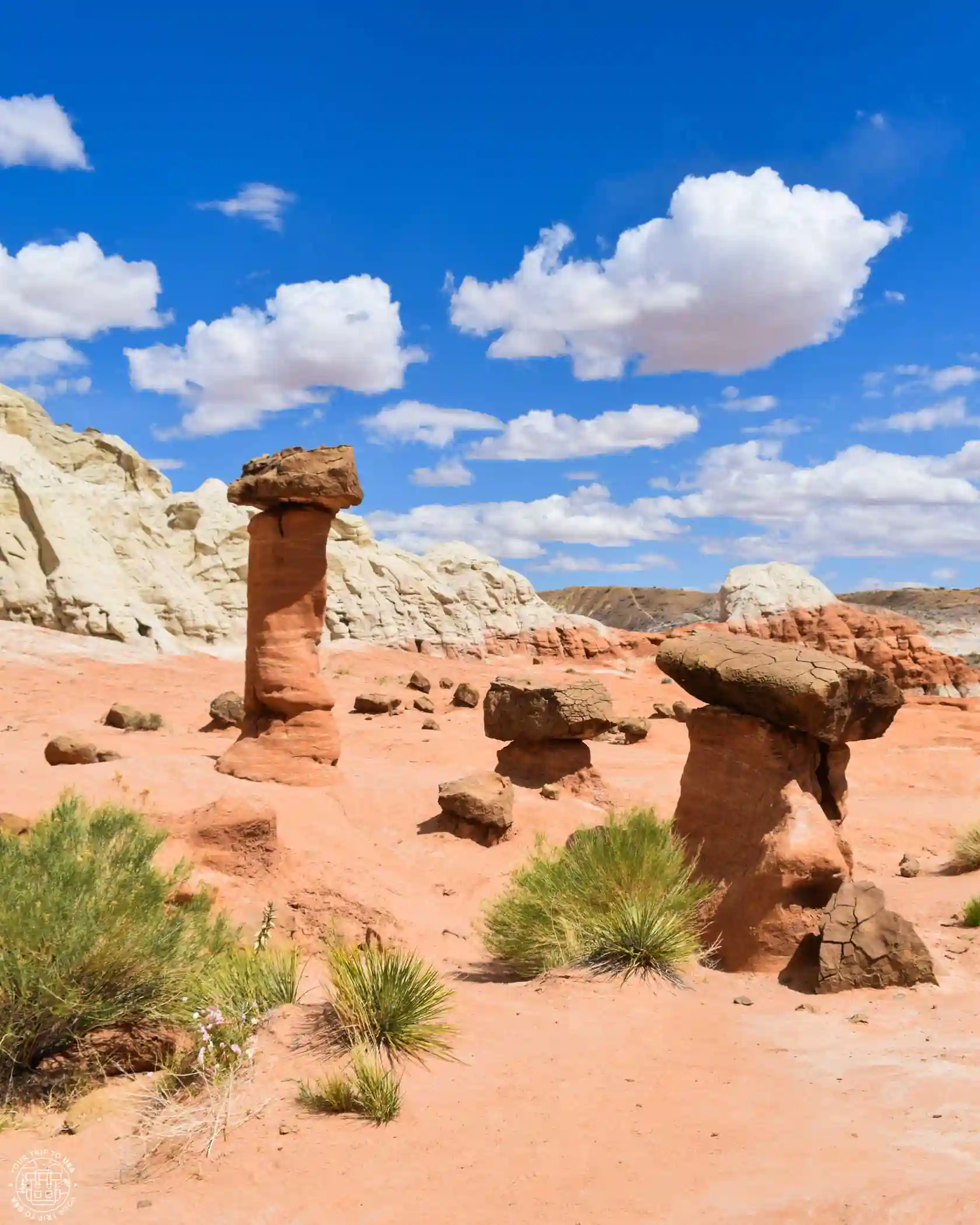
Escalante Petrified Forest State Park
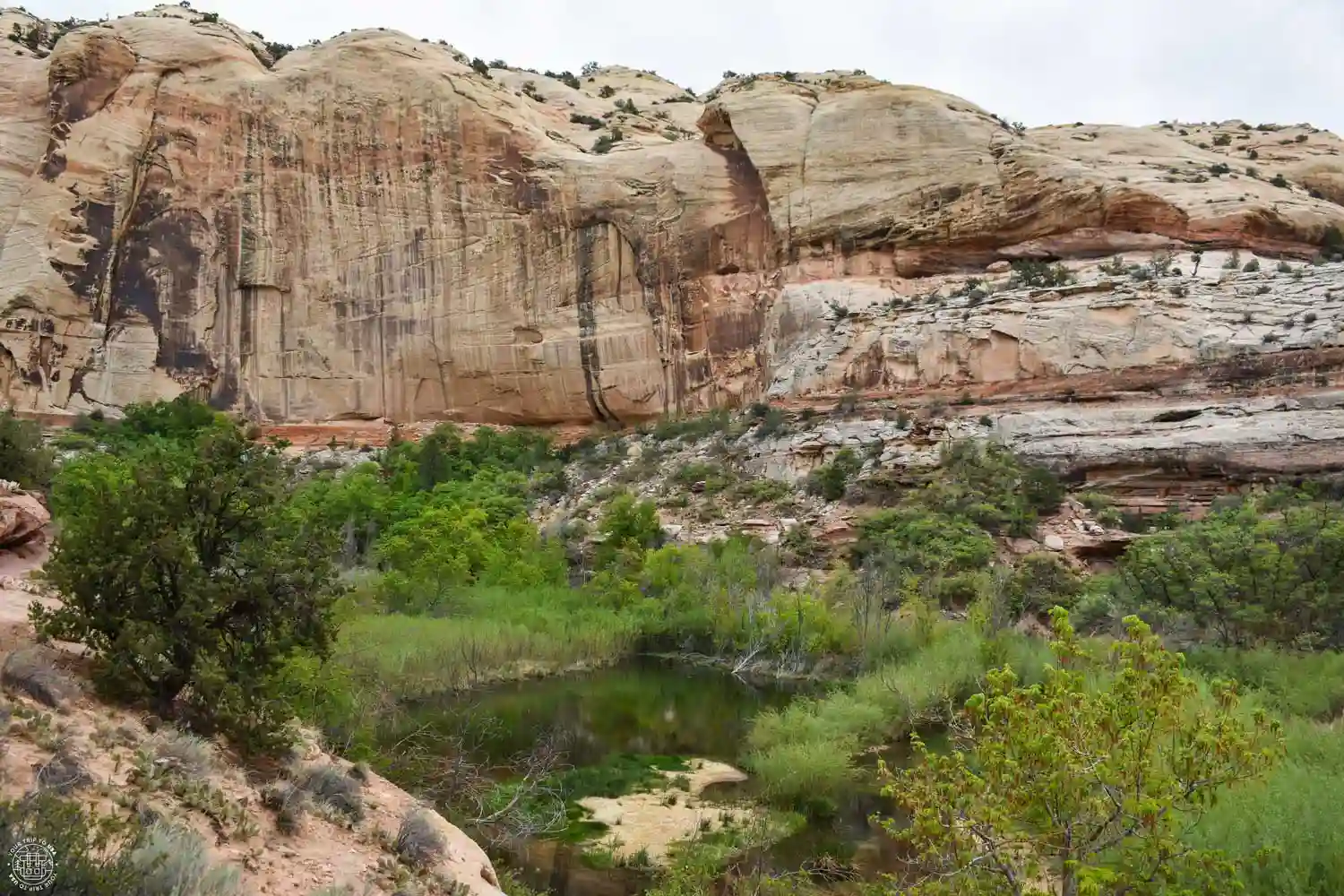
This tiny state park, located on the outskirts of the town of Escalante, is famous for its petrified trees—which are millions of years old—and for its small reservoir, where you can go kayaking or paddleboarding.
Don't expect to see large fossilized tree trunks—it's a small park, so we only recommend it if you've never seen anything like it before or if you're a geology enthusiast. If you're touring the area, we recommend Petrified Forest National Park, which is much more impressive than this one.
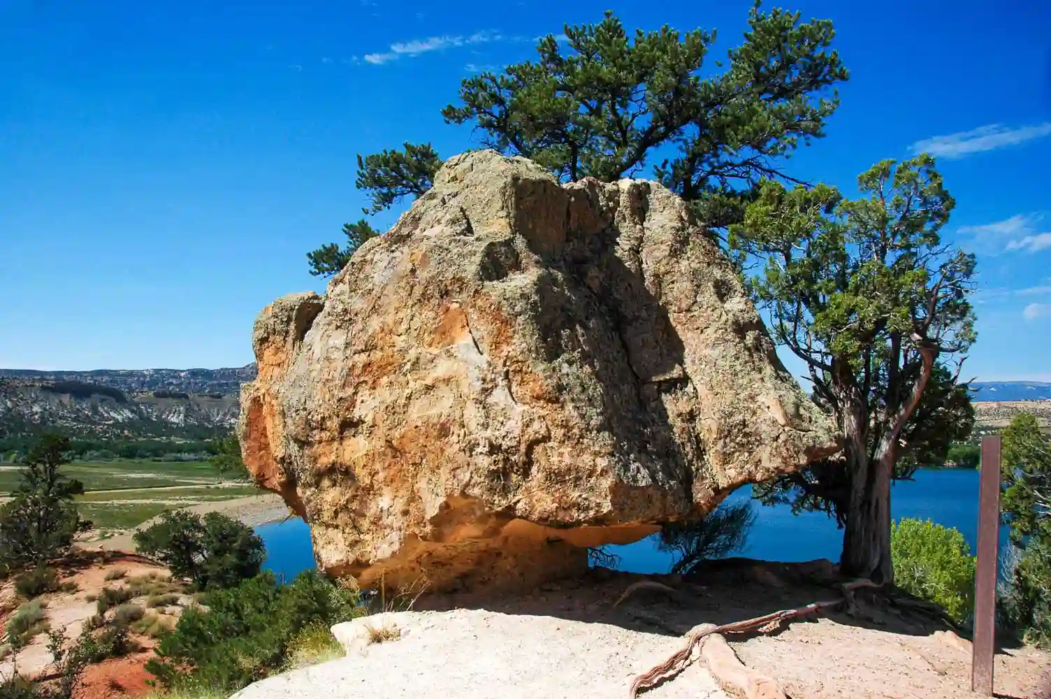
Hole-in-the-Rock Road
This unpaved road branches off from Scenic Byway 12, 4 miles (6 km) east of Escalante, and leads into the Grand Staircase-Escalante National Monument. It was used in 1,879 by a Mormon expedition seeking to settle the area south of the Colorado River, and they founded the community of Bluff on the banks of the San Juan River.
Through it, you'll be able to explore the best slot canyons in the area, as well as natural and historic sites that we'll tell you about in this post.
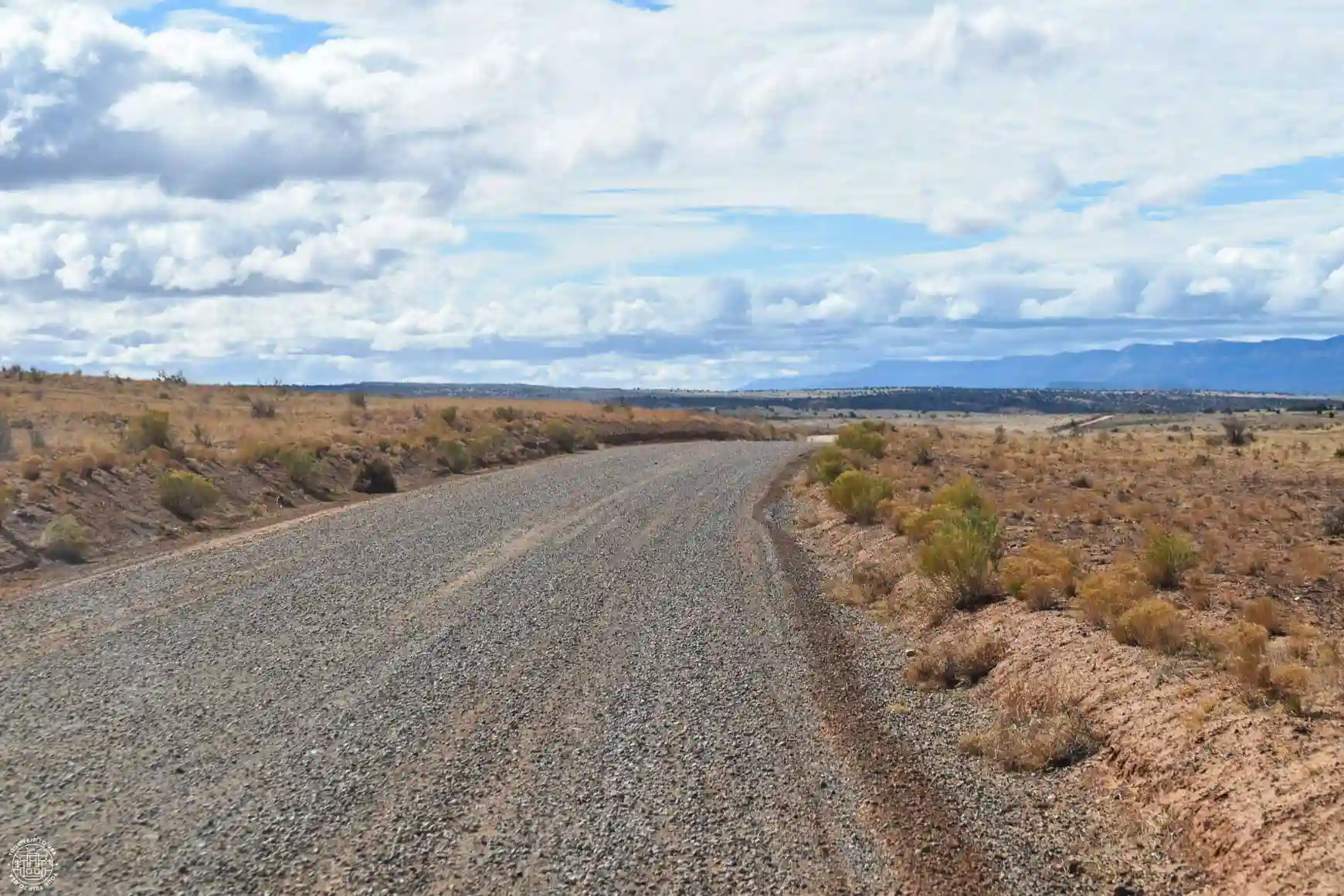
Escalante Slot Canyons
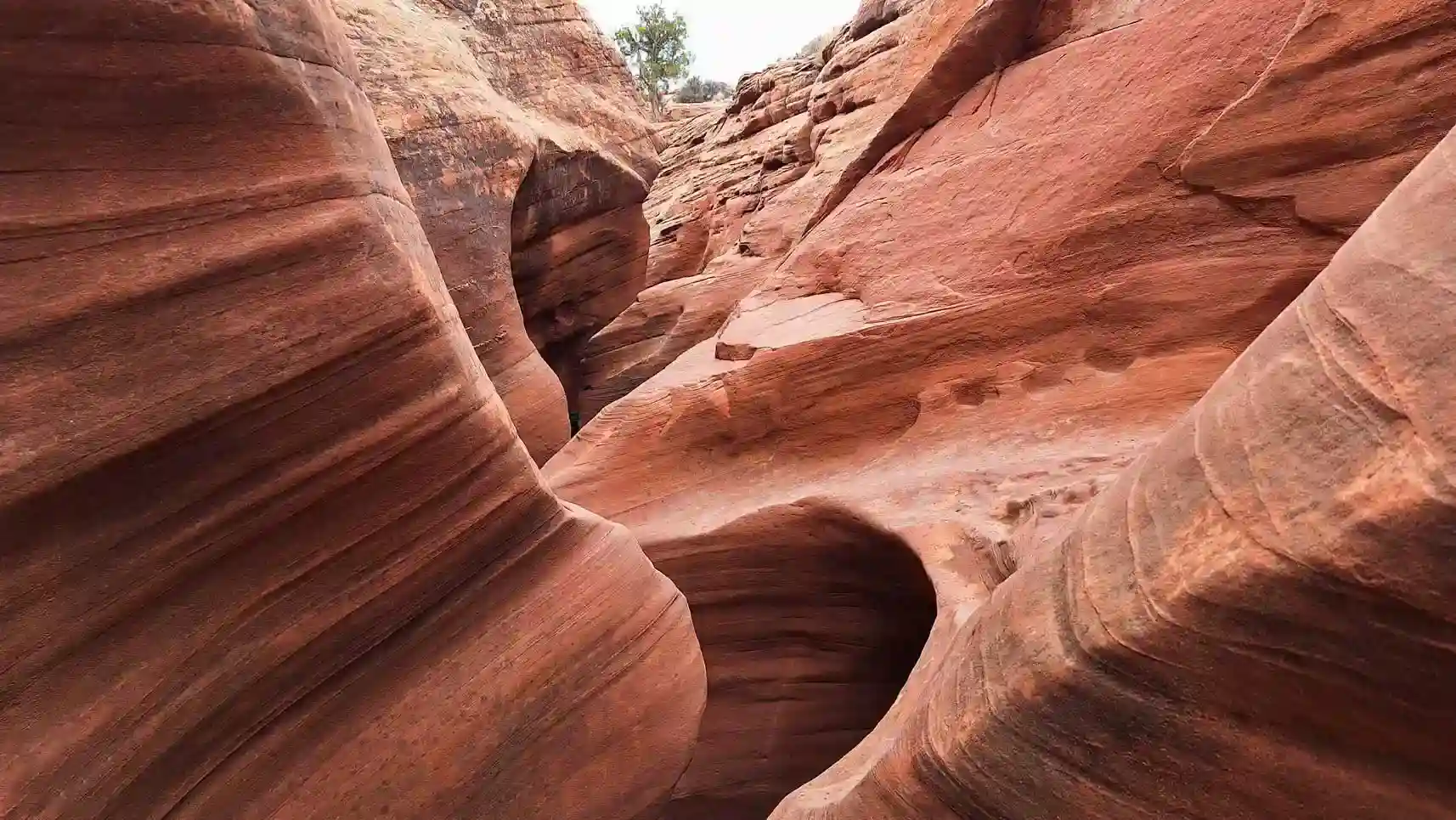
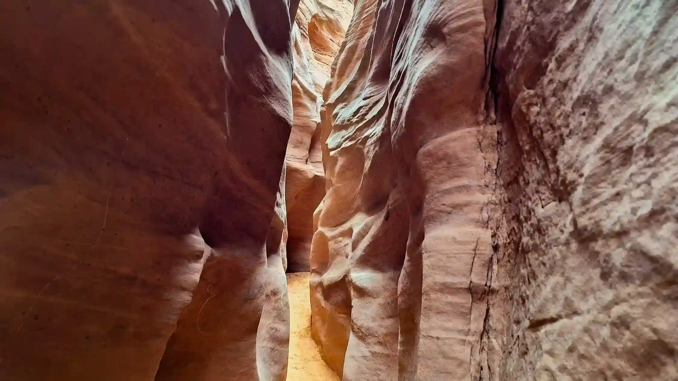
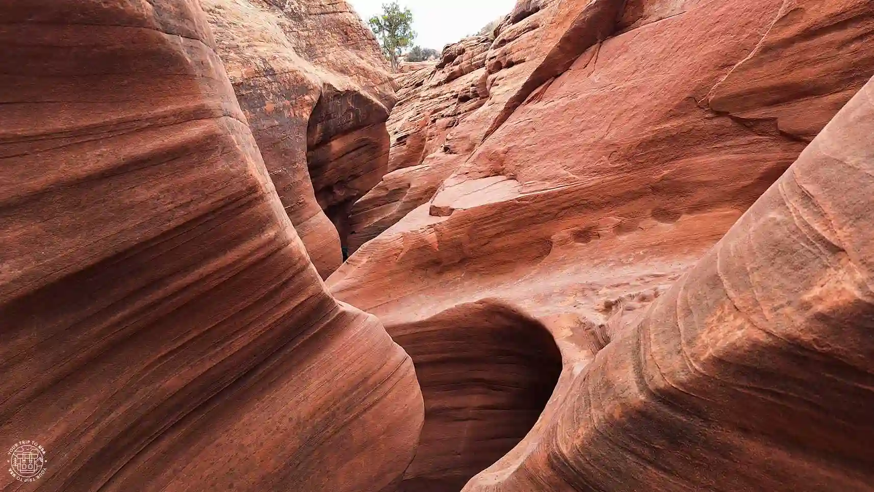
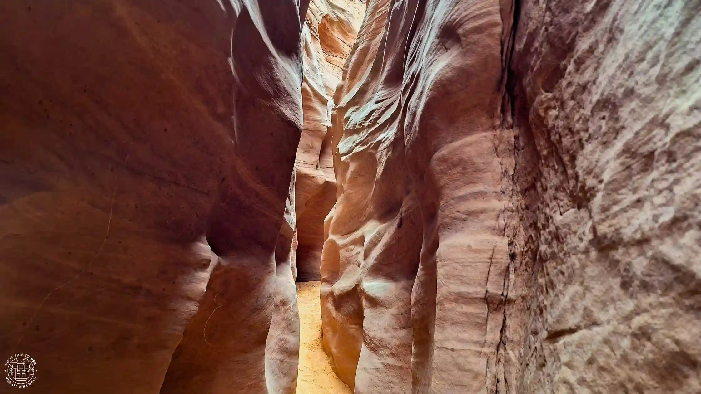
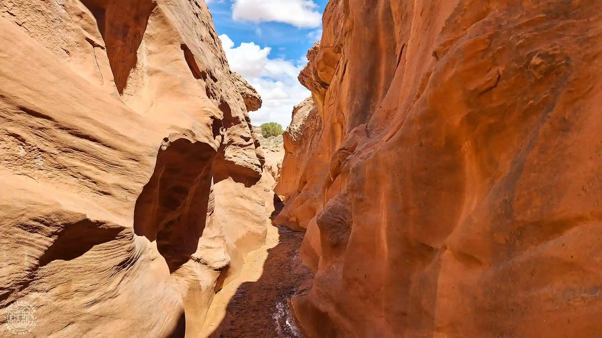
The Escalante area is famous for its slot canyons—small canyons carved into the rock by streams and torrents—that you can actually walk through; it's quite an experience!
Antelope Canyon is probably the best-known slot canyon in the United States, but even if you've visited it, the slot canyons in Escalante attract only a small fraction of the visitors, and the word "adventure" takes on its fullest meaning there.
Most of them are located within the national monument, and we've written an exclusive article about the best slot canyons near Escalante and another explaining the hike to Peek-a-Boo and Spooky so you can choose your favorite.

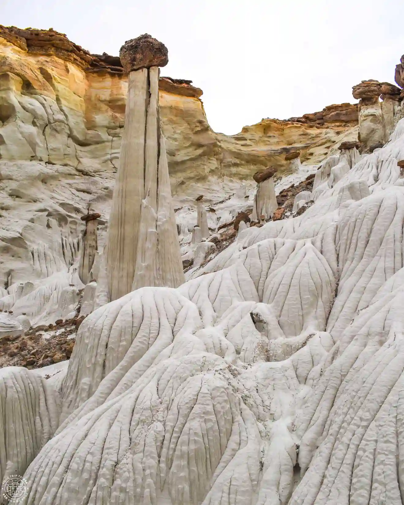
Cosmic Ashtray
This geological oddity is a hole 80 feet (24 m) deep and 100 feet (30 m) wide, formed by millions of years of water and wind erosion on white rock and filled with fine orange sand. The combination of colors and the seclusion of the place will transport you to Mars!
The problem is that it’s a hard-to-reach spot within the national monument, and you’ll need a high-clearance 4x4 and some basic navigation skills to find it on a 8-mile (13 km) round-trip hike through sand and rock. If we’ve convinced you, there’s this tour to the Cosmic Ashtray that includes a 4x4 and a guide, so all you have to do is enjoy the views.
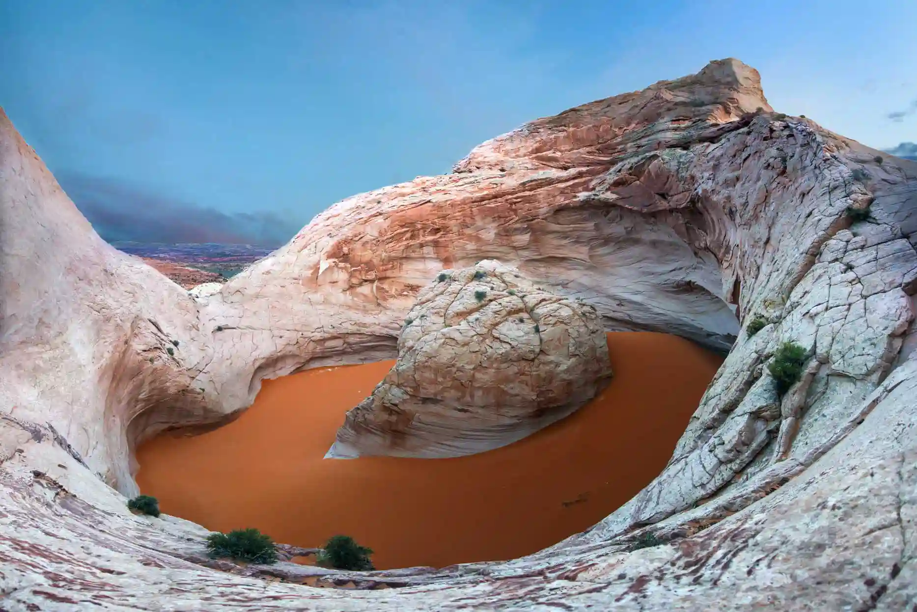
Devil's Garden
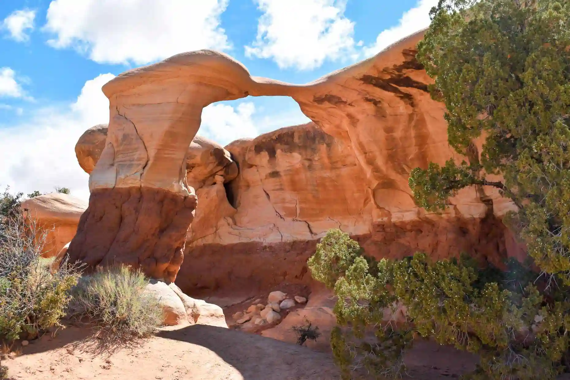
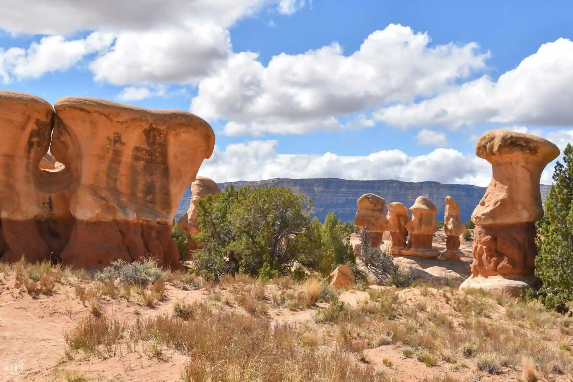
One of the must-see attractions in Escalante —and one you shouldn’t miss within the national monument—is Devil’s Garden. In this area, Navajo sandstone has been eroded over millions of years by water and wind, forming arches, hoodoos, and narrow passages.
It isn't very big, and you can easily see it all in an hour. It's located off the Hole-in-the-Rock Road, 12 miles (20 km) from the intersection with Route 12, and although it's an unpaved road, you can drive there without any trouble in a regular car if it hasn't rained recently.
Coyote Gulch
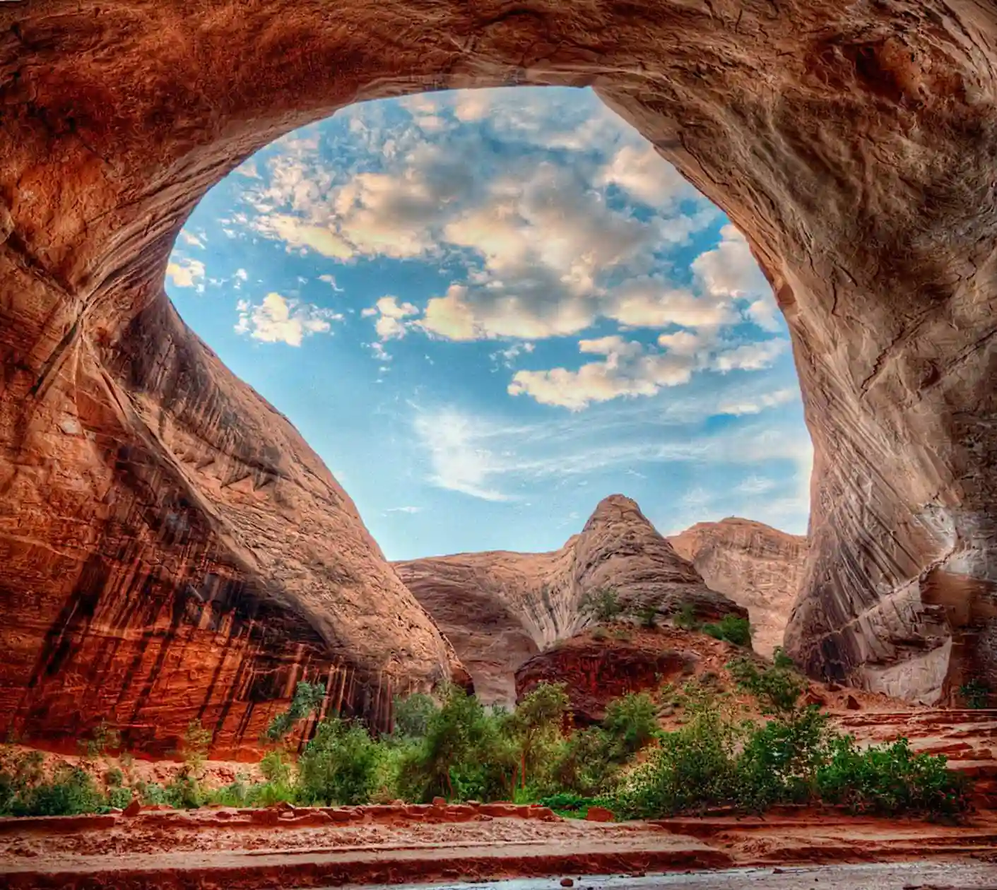
This is surely the most impressive spot in the Staircase-Escalante: a massive double sandstone arch eroded by the Escalante River and located inside a canyon. Specifically, the site is called Jacob Hamblin Arch, but since it’s in Coyote Gulch, everyone knows it by that name.
Getting there is a true epic journey, as it requires driving 39 miles or 63 km (one way) on an unpaved road and then walking 4 miles or 6.5 km (round trip) through an arid, shade-less area, including a descent of more than 100 feet (30 m) at a 45-degree angle down a rock face, where you may need a rope to help you climb up or down. Sometimes the rope may not be there, so don’t take it for granted—bring your own if you think you’ll need it and know how to use it, or skip the route if you don’t feel up to it.
It is very important to check the weather forecast and the risk of flash floods before heading out, as they can be deadly in these types of places.

RENT A CAR IN THE UNITED STATES
The best way to explore the United States is by car, giving you the freedom to travel at your own pace.
🚗 Whether you’re looking for a convertible Mustang, a 4x4, or a regular car, we recommend to book through this car rental search engine
💸 This is where we find the best prices, both on the rental car itself and on full coverage insurance!
There are other routes to Coyote Gulch that do not include this descent, but they are much longer and require camping along the way. If you need to spend the night in the canyon, you must obtain a free permit at the Escalante Visitor Center, where they will also provide you with information on the current conditions of the trail and the road.
In theory, any vehicle should be able to reach the Water Tank parking lot, where the trail begins, but on such long drives on unpaved roads, it's advisable to have a 4x4 and a full tank of gas before leaving Escalante.
Dance Hall Rock
It is an amphitheater-shaped formation of red sandstone located next to the Hole-in-the-Rock Road, within the national monument. It is considered a historic site, as the 1,879 Mormon expedition used it as a resting place and for celebrations, due to its excellent acoustics.
To get there, you'll need to drive 37 miles or 60 km (one way) on an unpaved road; a 4x4 is recommended, as the last few kilometers may be in poor condition.
 NO FEES CARD FOR THE UNITED STATES
In the U.S., you'll pay for almost everything by card. If you use one from your regular bank, you'll get hit with a ton of currency conversion fees.
💡 That's why we recommend to get the Wise card. There's no maintenance fee, and you can:
💸 Withdraw $250/month in any currency with no fees
💳 Do payments in any currency with no extra fees
Reflection Canyon
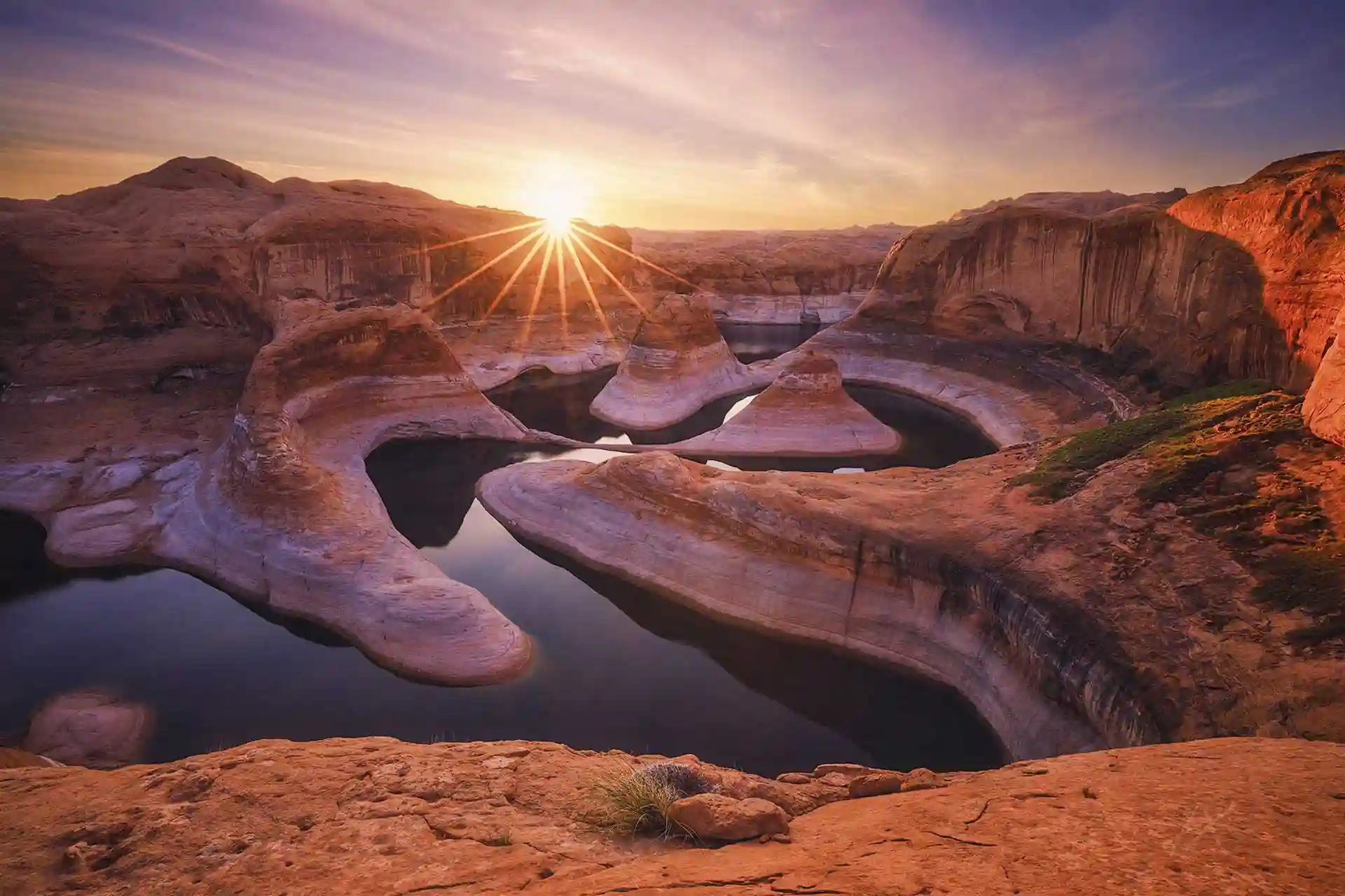
Reflection Canyon is another natural wonder accessible via the Hole-in-the-Rock Road, but it requires a lot of advance preparation and camping on-site—though the effort is well worth it. It is a stunning canyon of colorful sandstone at one end of Lake Powell.
To visit the site, you’ll need to drive 51 miles or 82 km (one way) along Hole-in-the-Rock Road; it’s recommended that you drive a 4x4 and fill up your gas tank before leaving Escalante, since the distance is considerable. After that, you’ll need to hike 17 miles or 27 km (round trip) through an arid, shade-less area, so it’s essential to bring plenty of water—between one and a half and two gallons (6 and 7 liters) per person—and sun protection. The trail isn’t marked, so a GPS is also recommended.
To spend the night there, you’ll also need a full set of camping gear, enough food, and a permit, which you can obtain at the Escalante Visitor Center; there, they can provide you with information on road and trail conditions. You can also fill out the paper form yourself—which you’ll find in the boxes at the trailheads—and drop it in the appropriate mailbox along Hole-in-the-Rock Road.
Hole-in-the-Rock
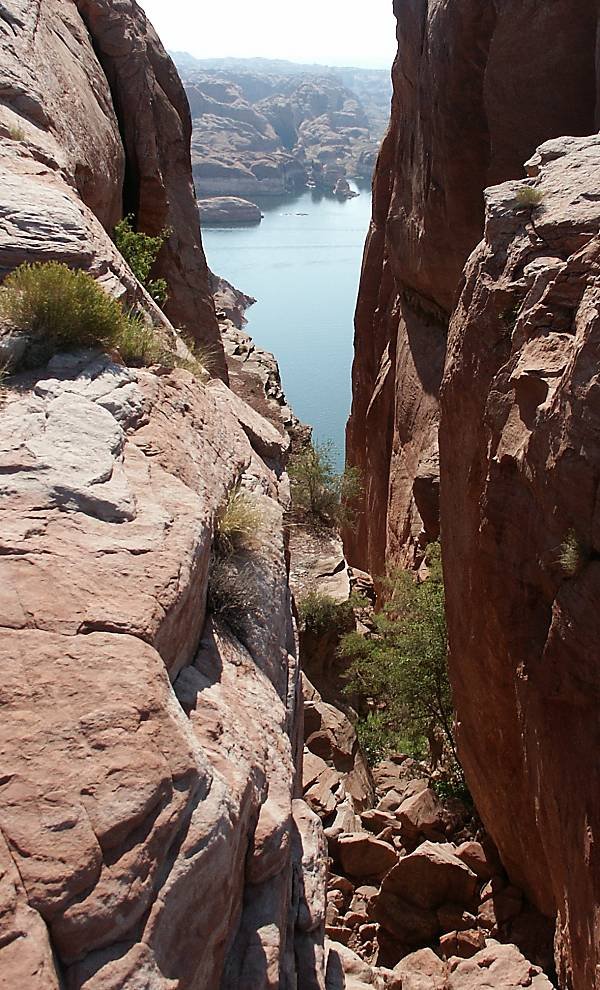
This spot marks the end of the road and the start of the descent toward Lake Powell. Although it may appear to be nothing more than a gap between the rocks leading down to the Colorado River and Lake Powell, it is a historic site, as the Mormon expedition to southern Utah chose it as the point from which to continue their journey.
Believe it or not, 250 people, 83 wagons, and more than 1,000 head of cattle made their way down this path. To make this possible, they worked for months to widen the passage and set up an intricate system of ropes to secure the wagons, pulled by men and oxen. The marks left by the dynamite blasts, the holes from the anchors in the walls, and the tracks left by the wagon wheels are still visible.
To get there, you'll have to drive the 56 miles (90 km) of unpaved road (one way) on Hole-in-the-Rock Road, and you'll need a 4x4, since the last few kilometers may be in poor condition.
Scenic Byway 12
This delightful scenic byway runs through southern Utah between the towns of Panguitch and Torrey and winds past such spectacular sites as Bryce Canyon and Capitol Reef National Parks, Kodachrome Basin and Escalante Petrified Forest State Parks, and the Grand Staircase-Escalante National Monument.
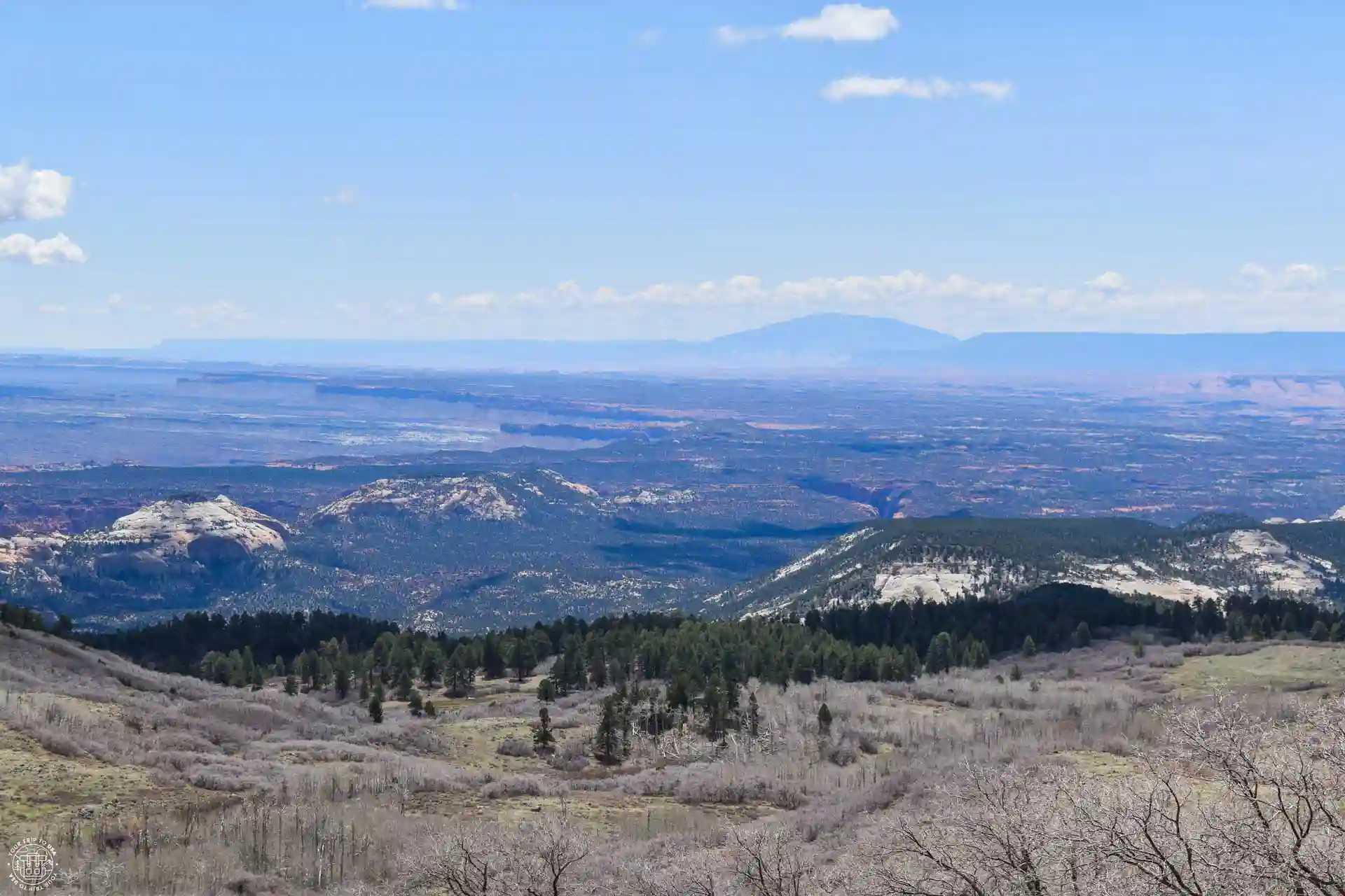
In addition, between the towns of Boulder and Torrey, the highway climbs to an elevation of 9,500 feet (2,900 m), where the landscape shifts from the typical arid terrain of southern Utah to a sub-alpine landscape featuring forests and meadows. Along this stretch, there are several overlooks offering views of the lower-lying lands of southeastern Utah, such as Homestead Overlook, Steep Creek Overlook, and Heritage Overlook.
In the Calf Creek area, right along the road, there are two other overlooks: The Hogback and Calf Creek Viewpoint. Both offer limited views of the Calf Creek, since the canyon is quite deep and the overlooks aren't exactly on the edge, but they're worth a quick stop.
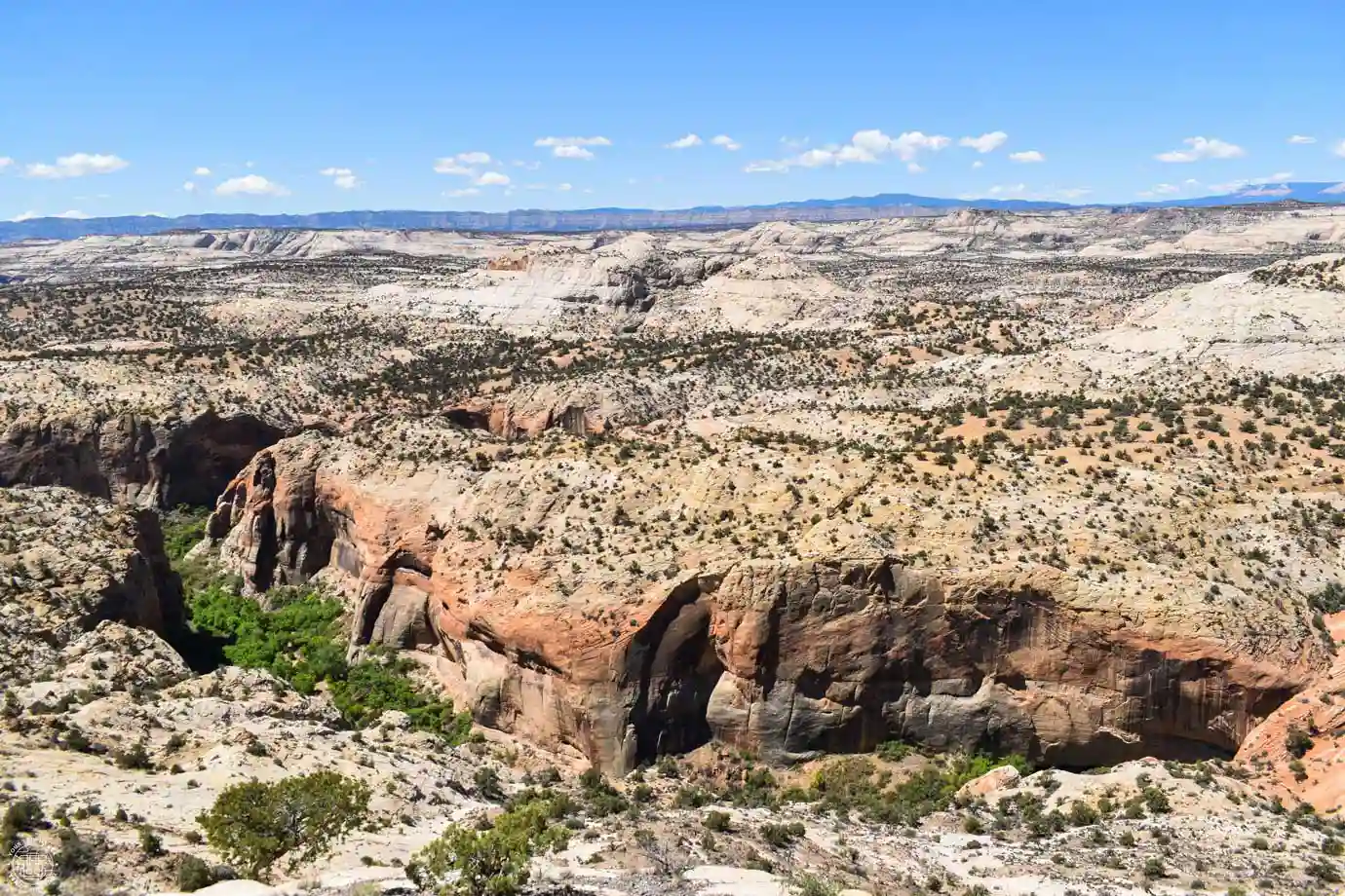
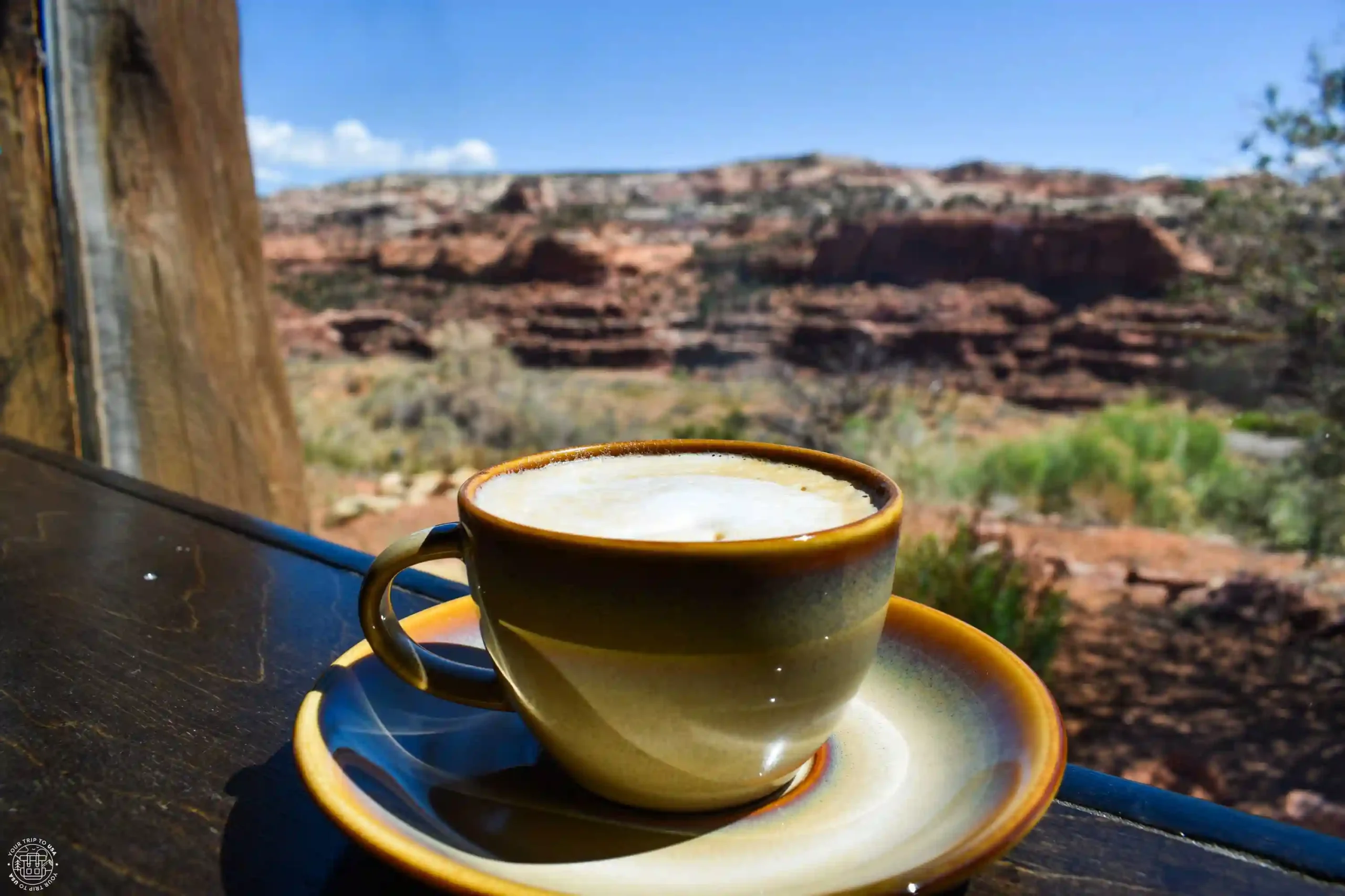
Another viewpoint you shouldn't miss is Boynton Overlook, located above the Escalante River, which offers beautiful views of the canyon. ☕ Although we recommend stopping at Kiva Koffeehouse, a really cool cafe located just a few meters from the other overlook, where you can enjoy the views while sipping coffee, juice, homemade cake, or having a light meal.
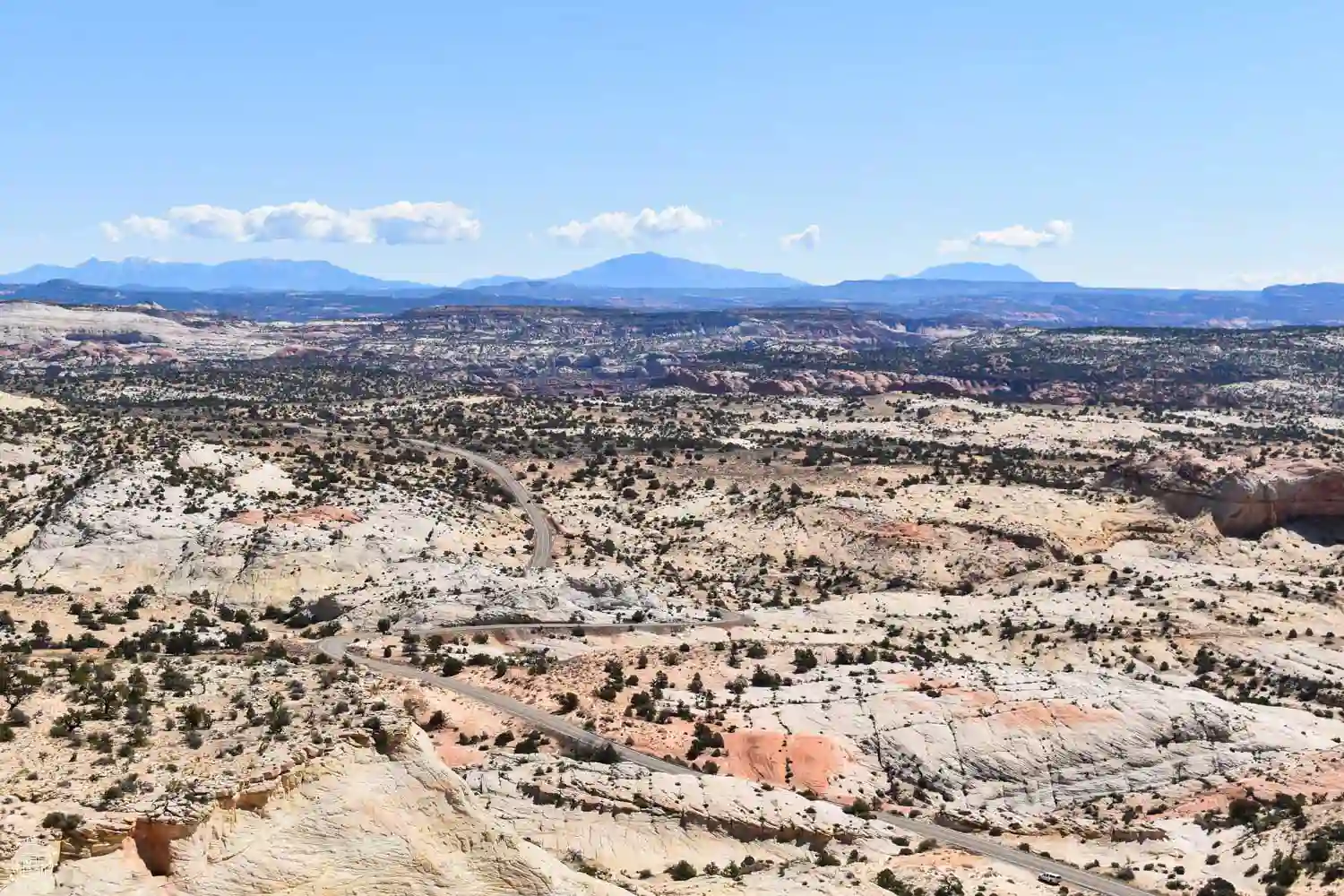
In the area around Escalante, there are two more overlooks that we find interesting: the Head of the Rocks Overlook, located at the end of the climb between the Escalante River and the town, offering beautiful aerial views of the area, and Powell Point Vista, between Escalante and Henrieville, which offers an excellent panoramic view of the surrounding mountains.
Escalante Natural Bridge and Petroglyphs
The Escalante River area, within the Staircase-Escalante National Monument, is one of the most beautiful areas around town, as it lets you walk along the river and through the canyon floor to the Escalante Natural Bridge or discover petroglyphs and cave paintings left by the indigenous peoples.
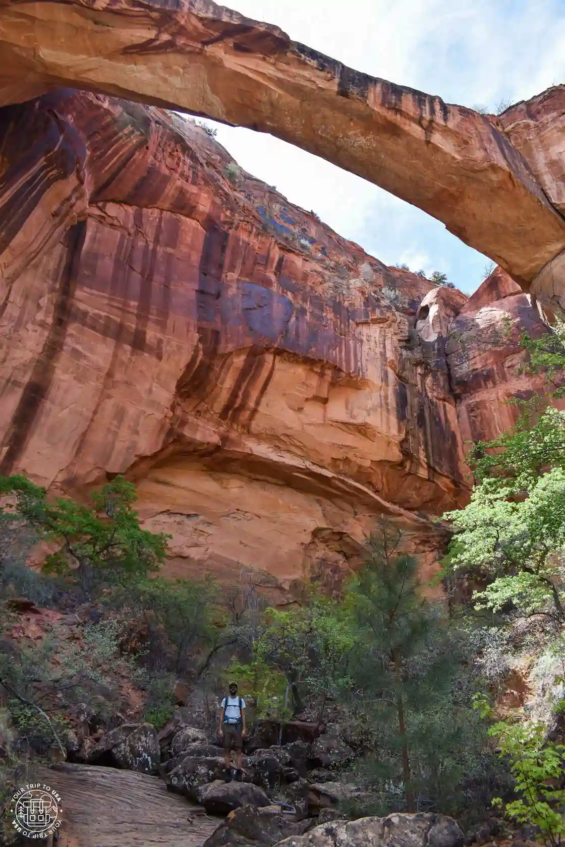
The natural rock bridge is located at the edge of the cliff at a considerable height, so you’ll only be able to catch a glimpse of it from below. To reach it, you’ll need to hike a 3.2-mile (5.2 km) trail with 69 feet (21 m) of elevation gain, during which you’ll cross the river up to four times. There are no bridges on this trail, so your feet will get wet. Fortunately, the water level isn’t too high, but you should be aware of possible flooding and check the weather forecast before setting out on the hike.
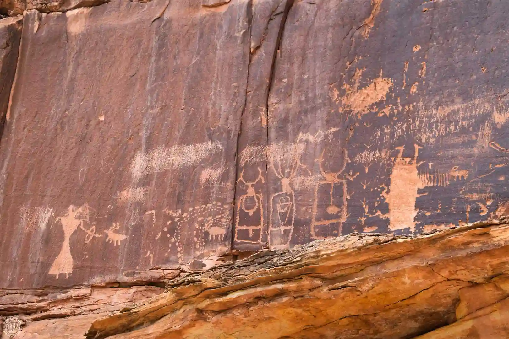
On the opposite side of the canyon, you’ll find two panels of petroglyphs and one panel of cave paintings on the rock. The first panel, called “Bighorn Sheep,” is a petroglyph depicting a group of bighorn sheep that once inhabited the area. The second, “100 Hands,” is a painting of countless white hands that stand out against the reddish rock. The third, called “Shaman and The Hunter,” depicts a group of prominent figures alongside a hunter and a bighorn sheep.
The path to these artistic expressions isn't very easy, since they're located high up on the canyon wall and you have to climb a bit over the rocks.
Lower Calf Creek Falls
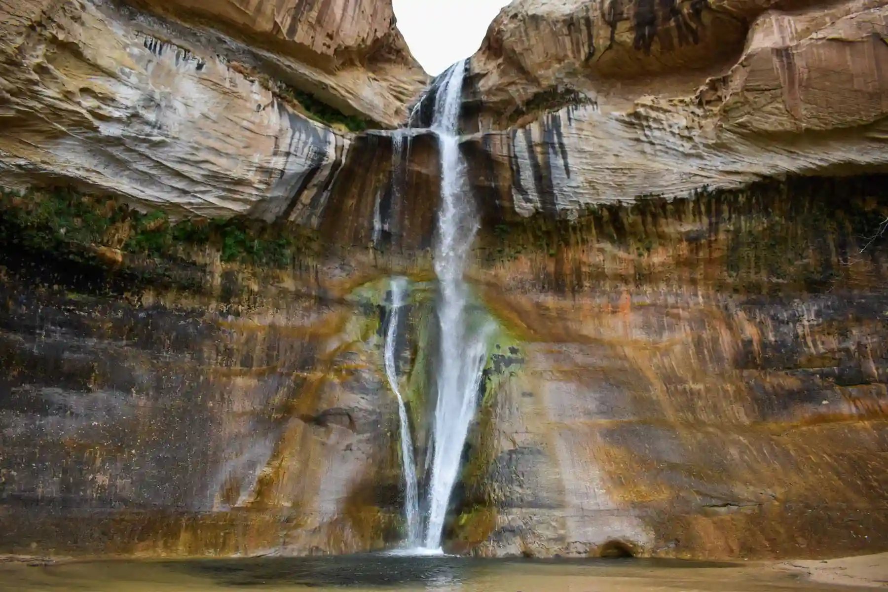
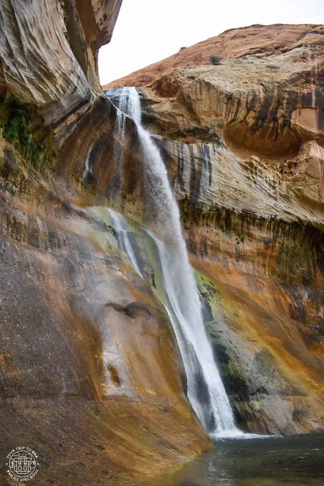
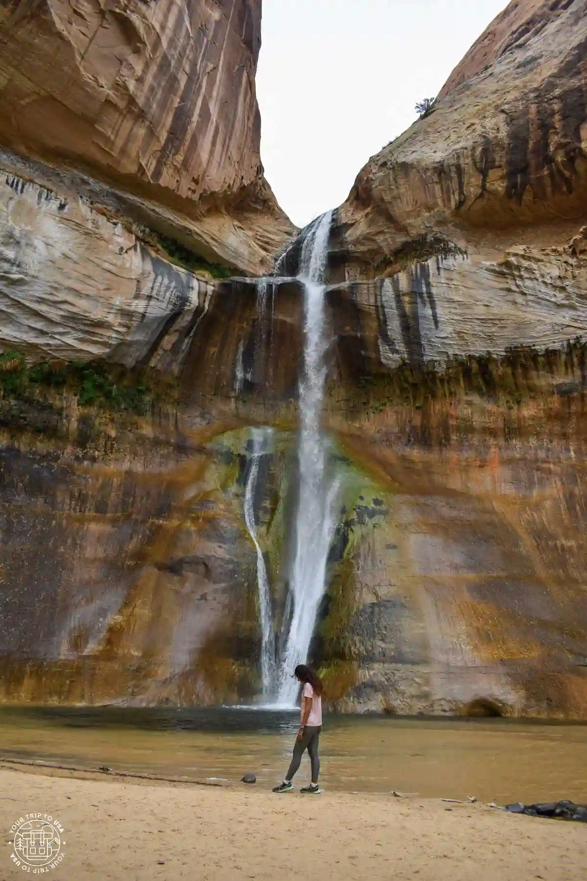
This hiking trail through a canyon in the Staircase-Escalante National Monument ends at the bottom of the canyon with a beautiful waterfall. We enjoyed it so much that we decided to write a special article about it: Lower Calf Creek Falls Hike.
Where to Stay in Escalante
Although it's a fairly small town, Escalante offers several lodging options. We've put together a short list for you so you don't have to do it yourself.
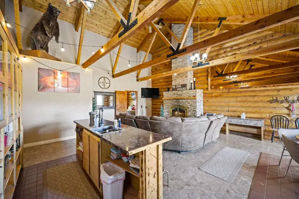
Ponderosa Inn
This is the best value-for-money accommodation in town and offers double rooms, all equipped with a private bathroom, air conditioning, a refrigerator, a coffee maker, a TV, and Wi-Fi. It also features a room with a kitchen and a private patio. Guests have highlighted the location, the cleanliness, the coffee maker, and the comfort of the bed.
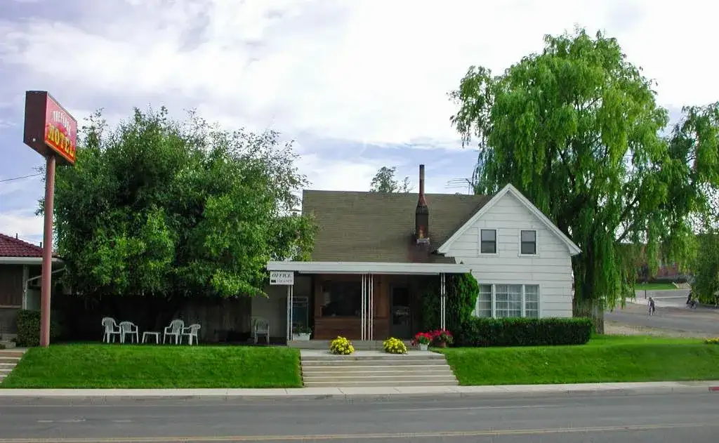
The Padre Motel
This motel, located in a historic townhouse, offers two types of rooms: double rooms and family rooms that accommodate up to four people. Both feature double beds, a private bathroom, air conditioning, a refrigerator, a microwave, a coffee maker, a TV, Netflix, and Wi-Fi. According to reviews, guests highlight the cleanliness of the room, the comfort of the bed, the location, and the availability of a coffee maker.
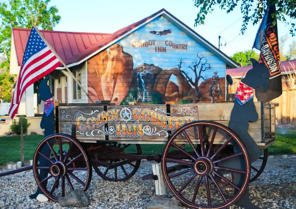
Cowboy Country Inn
This cowboy-themed motel offers double or family rooms that sleep up to 4 people, all of which feature 1 or 2 double beds and come equipped with a private bathroom, air conditioning, heating, a microwave, a refrigerator, a coffee maker, a terrace, a TV, and Wi-Fi. Guests who have stayed here have appreciated how clean the room was, the comfort of the bed, and the location.
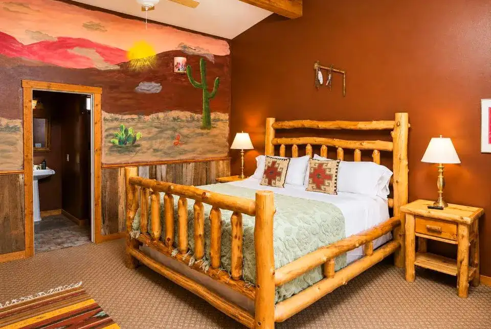
The Inn of Escalante
This motel, with decor inspired by the Escalante landscape, offers double and family rooms for up to 4 people, all with double beds. The hotel also has an ATM and a garden for guests. The rooms feature private bathrooms, a terrace, air conditioning, heating, a TV, and Wi-Fi. Reviews highlight the room’s decor and cleanliness, the comfort of the beds, the location, and the proximity to a cafe where you can enjoy an excellent breakfast.
How many days to spend in Escalante
Even though the town is very small and the area is very remote, as we've been telling you, there are plenty of activities and places to visit around the municipality. For this reason, we recommend staying at least one day, although you'll need more time to really explore the area.
Things to Do in Escalante in One Day
🌄 If you're planning to visit Bryce Canyon National Park the day before, we recommend staying in Bryce Canyon City—for example, at the Bryce View Lodge.
🏃🏻➡️ If you only have one day in Escalante and you enjoy hiking, we recommend taking the Lower Calf Creek Falls Trail and the Escalante Natural Bridge Trail and checking out the cave paintings in the same canyon. Another option would be to head straight to Hole-in-the-Rock Road, visit Devil's Garden, and hike the Spooky Canyon and Peek-A-Boo Slot Canyon trails.
😎 If you'd prefer a more laid-back itinerary, you can also stop at the various overlooks along Scenic Byway 12, visit Devil's Garden, and end the day at Escalante Petrified Forest State Park.
🏨 We recommend spending the night in Escalante—for example, at the Ponderosa Inn.

🚐 The U.S. is a paradise for traveling by camper van or motorhome: there are plenty of campgrounds, wonderful places to stay overnight for free, and amenities around every corner.
If you'd like to try this way of traveling, the United States is the place to do it!
💸 And you can save a lot of money on lodging and food!
➡️ We always book through this rental search engine because they work with all the companies and have great deals.
Things to Do in Escalante in 2 Days
🌄 If you're planning to visit Bryce Canyon National Park the day before, we recommend staying in Bryce Canyon City—for example, at the Bryce View Lodge.
🏃🏻➡️ If you have two days in Escalante, we recommend splitting them up by area. On the first day, you can explore Hole-in-the-Rock Road, visit Devil’s Garden, and hike Spooky and Peek-A-Boo Slot Canyons. On the second day, you can hike the Lower Calf Creek Falls Trail and the Escalante Natural Bridge Trail and check out the cave paintings in the same canyon.
😎 If you'd prefer a more relaxed itinerary, on the first day we recommend stopping at the overlooks along Scenic Byway 12 and hiking the Lower Calf Creek Falls Trail —since it's an easy hike—and on the second day, visiting Devil's Garden and Escalante Petrified Forest State Park.
🏨 If you're planning to spend 2 days in Escalante, we recommend that you spend at least 1 night in town—for example, at the Ponderosa Inn.
Things to Do in Escalante for 3 or More Days
🌄 If you're planning to visit Bryce Canyon National Park the day before, we recommend staying in Bryce Canyon City—for example, at the Bryce View Lodge.
⛺ If you have 3 days or more in Escalante, you can hike one of the trails where camping for one night is recommended—either Reflection Canyon or Coyote Gulch—although the latter can be completed in a single day if you take the most direct route.
😎 You can spend the rest of your days visiting other places we've mentioned, such as Devil's Garden, the Slot Canyons, Escalante Petrified Forest, the Escalante River with its natural bridge and petroglyphs, or Lower Calf Creek Falls.
🏨 Even if you decide to camp some nights, we recommend staying in Escalante for a few days—for example, at the Ponderosa Inn.
Tips for Visiting Escalante
- 🚙 A 4x4 vehicle is recommended for driving on Hole-in-the-Rock Road; it is an unpaved road, and some sections may be in poor condition.
- ⛽ Fill up your tank in Escalante before heading out onto the unpaved trails of the national monument.
- 🌄 Try to get an early start if you're going on a hike in the summer—that way, you'll avoid the hottest part of the day.
- 🗺️ Make sure to download a map of the area onto your cell phone; some trails aren't well marked, and cell service isn't great inside the park.
- ⛈️ Check the flood risk on this website, as afternoon thunderstorms are common in the summer, turning the canyons into deadly traps.
- 🚶🏻Stay on the marked trails; in arid areas like this one, it's easy to get lost, and in some cases, it can be dangerous.
- 🧢 Don't forget your hat, sunglasses, and sunscreen—the sun is very strong in the summer, and there's not much shade.
- 💧 Bring plenty of water if you're going hiking in the summer—at least 2 liters per person, or more if you're going on long hikes.
- 🥪 Pack some snacks in case you get hungry or need to recharge.
- ⛺ If you want to camp outdoors because you’re going on a hike that requires it, you must obtain an overnight permit. You can get one at the Escalante Interagency Visitor Center or by filling out a form and dropping it in the drop box at the trailhead.
Map of Escalante
On this map of things to do in Escalante, we've marked all the points of interest, accommodations, visitor centers, and activities.
Frequently Asked Questions About Escalante
Is Escalante, Utah, worth visiting?
Yes. Escalante is an excellent base for exploring one of the most spectacular and least crowded areas in southern Utah. The surrounding area offers breathtaking canyons, hiking trails, waterfalls, rock formations, and numerous natural sites within the Grand Staircase-Escalante National Monument.
What to See and Do in Escalante?
Among the top sights to see and activities to do in Escalante are driving along Scenic Byway 12, hiking to Lower Calf Creek Falls, exploring various slot canyons, and discovering places like Devil's Garden.
How many days does it take to visit Escalante?
It's best to spend at least two days in Escalante to see some of the area's main attractions. If you want to go on several hikes and explore different slot canyons, it's best to plan on three days or more.
Where to Stay in Escalante?
Staying in the town of Escalante itself is the most convenient option for exploring the area, as you'll find all kinds of accommodations there. Plus, its location makes it easy to get to the main attractions of the Grand Staircase-Escalante.
When is the best time to visit Escalante?
Spring and fall are usually the best times to visit Escalante, thanks to their pleasant temperatures for hiking. Summers can be very hot during the day, while winters offer different scenery but may bring snow, ice, and some roads or trails in poorer condition.
How do I get to Escalante, Utah?
The most common way to get to Escalante is by car, since it is located in a fairly remote area of southern Utah. The town is situated along Scenic Byway 12, one of the most spectacular scenic byways in the United States, and is often visited as part of a road trip between Bryce Canyon and Capitol Reef.
We hope this post on things to do in Escalante, Utah will help you plan your next trip!
John Fowler, Ken Xu, James St. John, G. Thomas CC BY 2.0 via Wikimedia Commons