

What is Lower Calf Creek Falls?
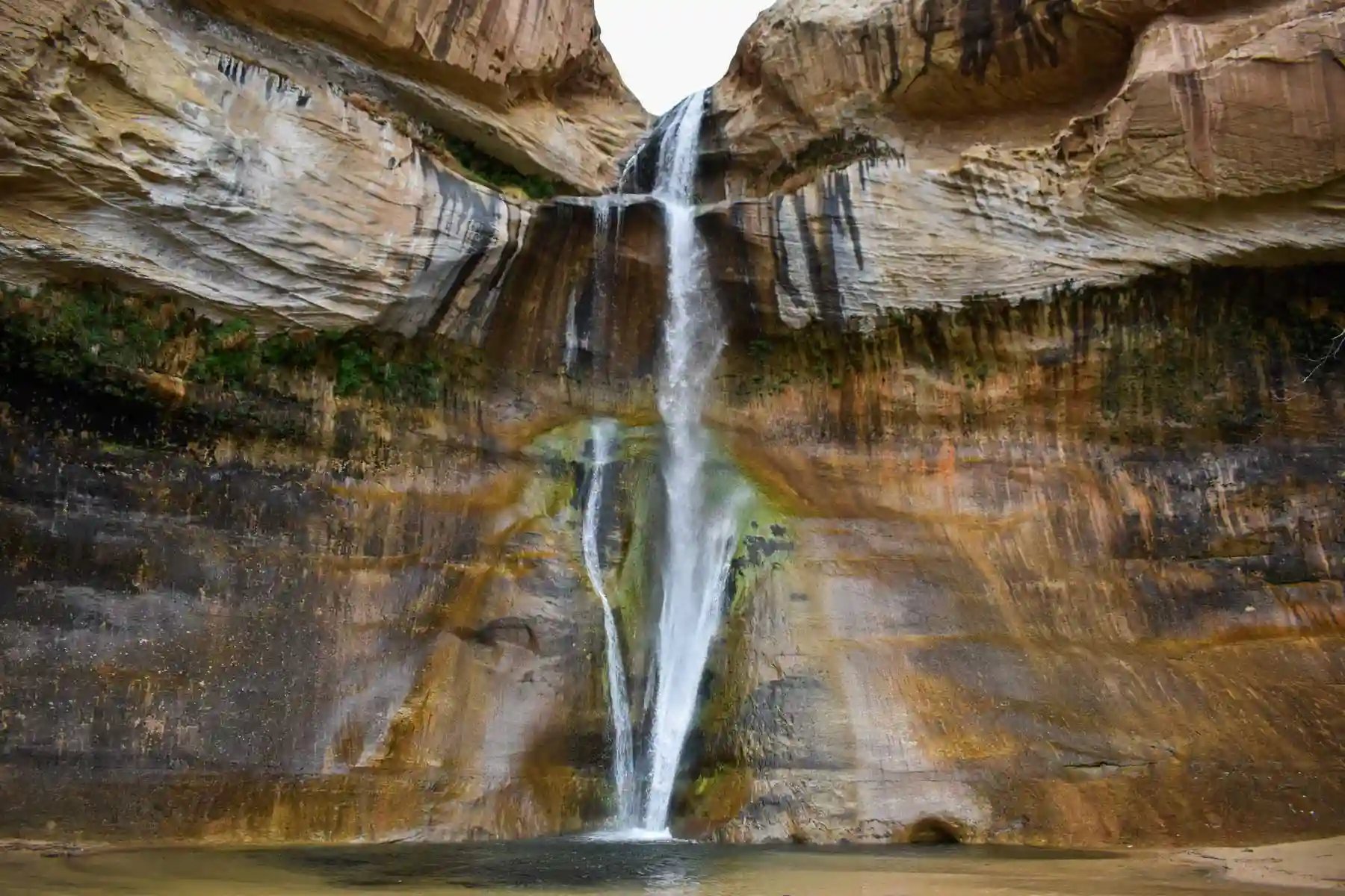
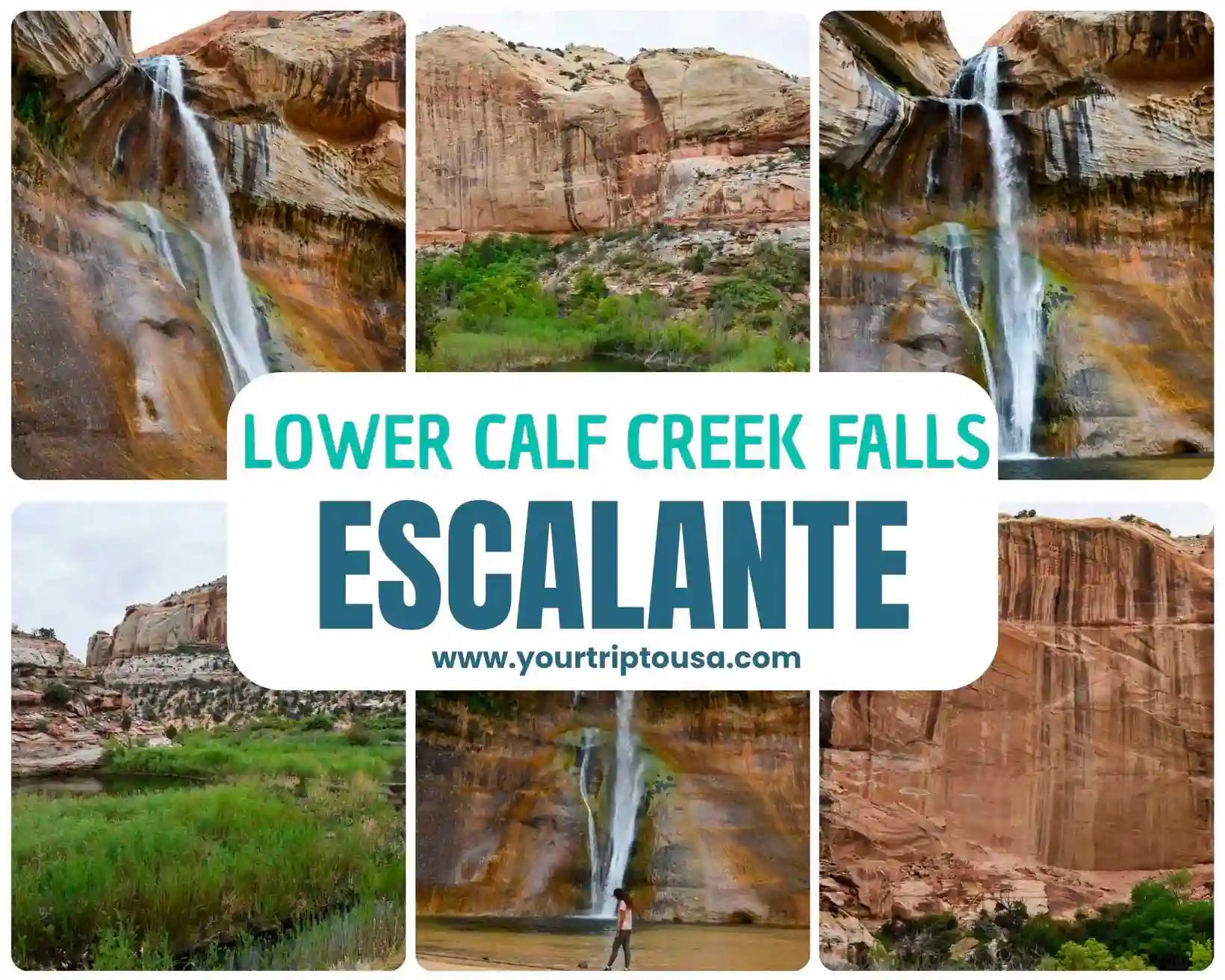
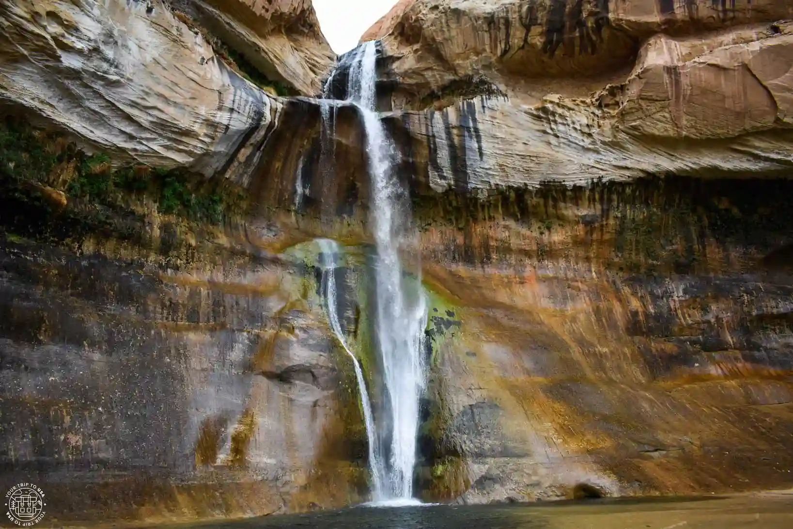
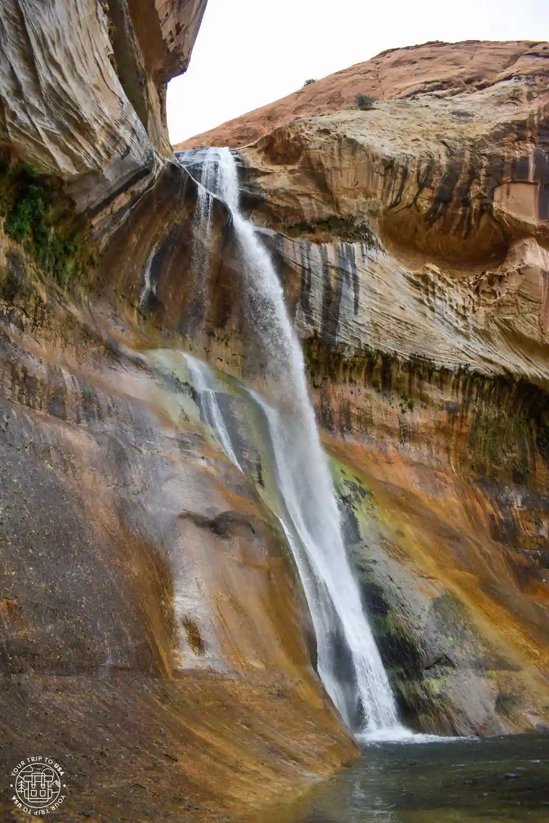
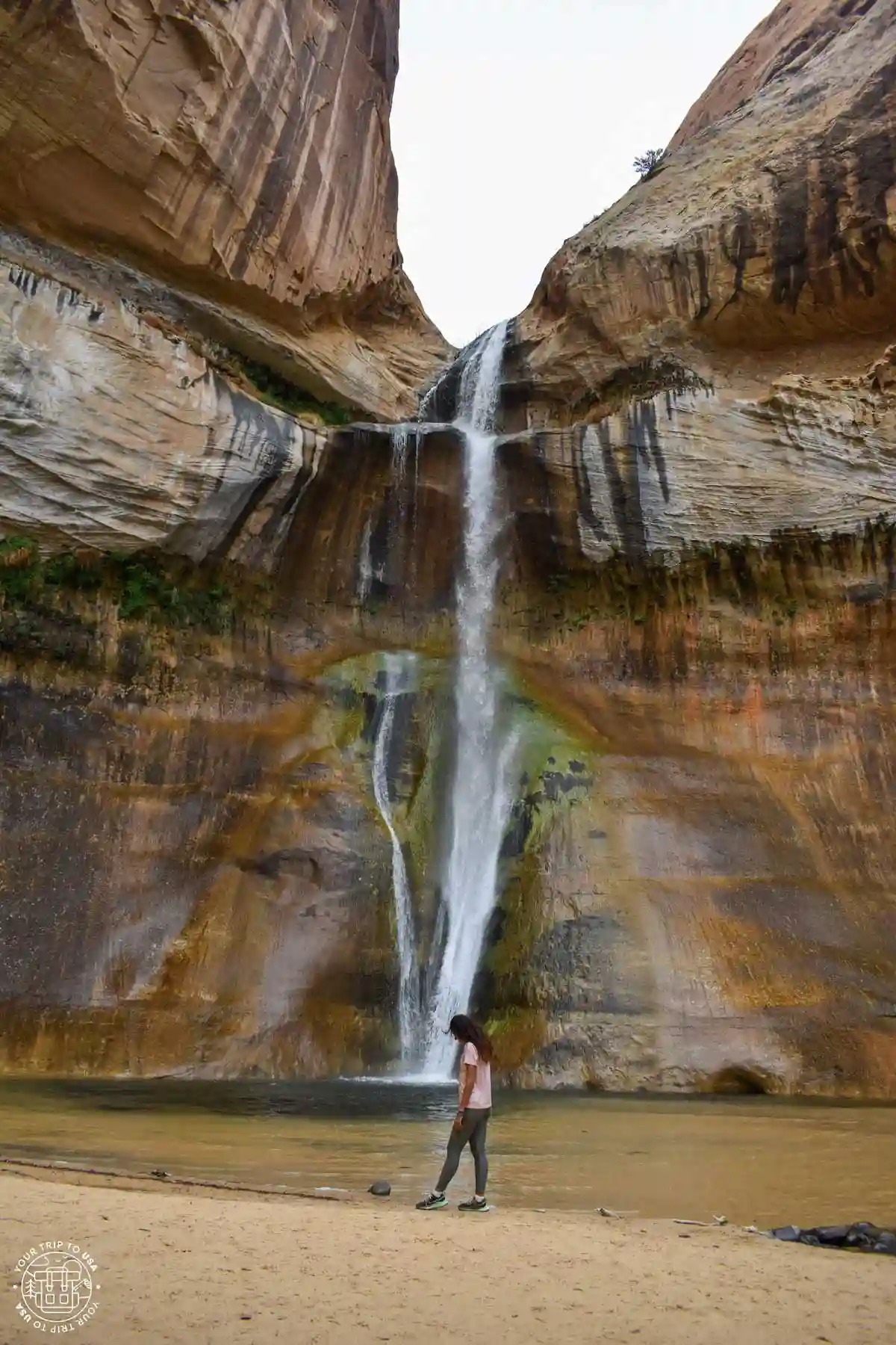
Lower Calf Creek Falls is a 125-foot-high (38 m) waterfall at the bottom of Lower Calf Creek, which is part of the Grand Staircase-Escalante National Monument and is therefore protected.
The waterfall creates a fairly large pool, and although the water is usually cold, some brave souls are willing to take a dip in the summer.
From this point on, the stream continues its course through the canyon, creating a humid habitat and refuge for animals and plants in a climate as arid as that of southern Utah. The river flows steadily throughout the year, even during the hottest months, making this hike one of the most pleasant in the area during the summer, as the presence of water and the canyon itself help lower the ambient temperature.

TRAVEL INSURANCE
FOR THE UNITED STATES
💸 Healthcare in the U.S. is very expensive, and any accident or illness can cost you a fortune.
That's why we recommend getting travel insurance that covers you in case anything goes wrong, so you don't have to pay anything up front.
💡 We always travel with Heymondo because it offers excellent medical coverage at a great price. Plus, you can get 5% OFF*!
🤓 Take a look at: Best travel insurances for the USA | Comparison + Discounts |
In addition to the trail to the waterfall, there is a picnic area, restrooms, and a campground where you can spend the night within the national monument and enjoy the charm of the place. The campground operates on a first-come, first-served basis; reservations are not accepted, and the price is $15 per night.
Practical Information About the Lower Calf Creek Falls Hike
In the table below, we've compiled some important information about the Lower Calf Creek Falls Hike:
| LOWER CALF CREEK FALLS HIKE | |
|---|---|
| Data | Info |
| Distance | 6 miles (10 km) |
| Duration | 3 hours |
| Elevation gain | 407 feet (124 m) |
| Difficulty | Easy |
| Route Type | Out and Back |
| Starting point | Calf Creek Recreation Area |

How do I get to Lower Calf Creek Falls?
Getting to the trailhead for Lower Calf Creek Falls is very easy. If you're coming from Escalante, just drive 16 miles (26 km) toward Boulder; a short detour will take you to the parking lots and the trailhead. There are as many as three parking lots, so we didn’t find parking to be a problem.
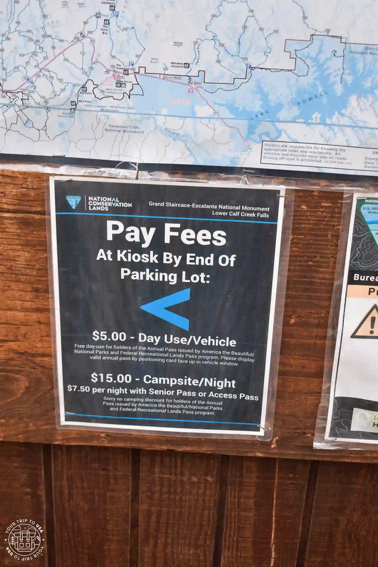
To enjoy the site, you'll need to pay a fee of $5 per vehicle per day or have an "America the Beautiful" pass; remember to display it prominently on your windshield to avoid any issues.
What's the Lower Calf Creek Falls Hike like?
To reach the trailhead, walk past the campground’s service area and continue along the path that leads to the campsites. You’ll pass by some of them until, after site number 5, the path turns right and crosses the river toward the campsites on the other side. At this point, you should continue straight ahead, as that is where the trail begins.
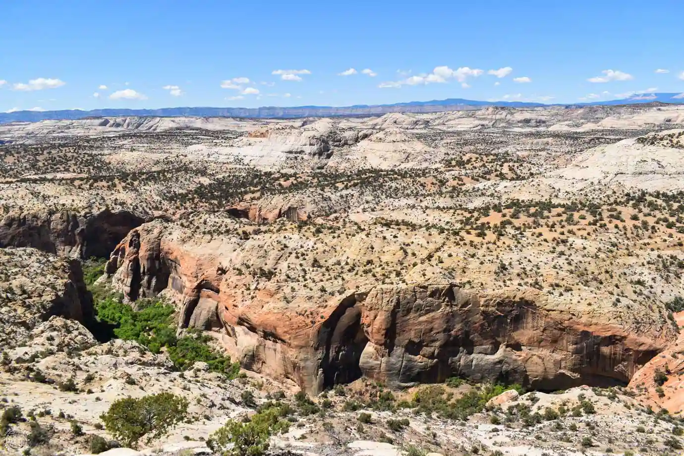
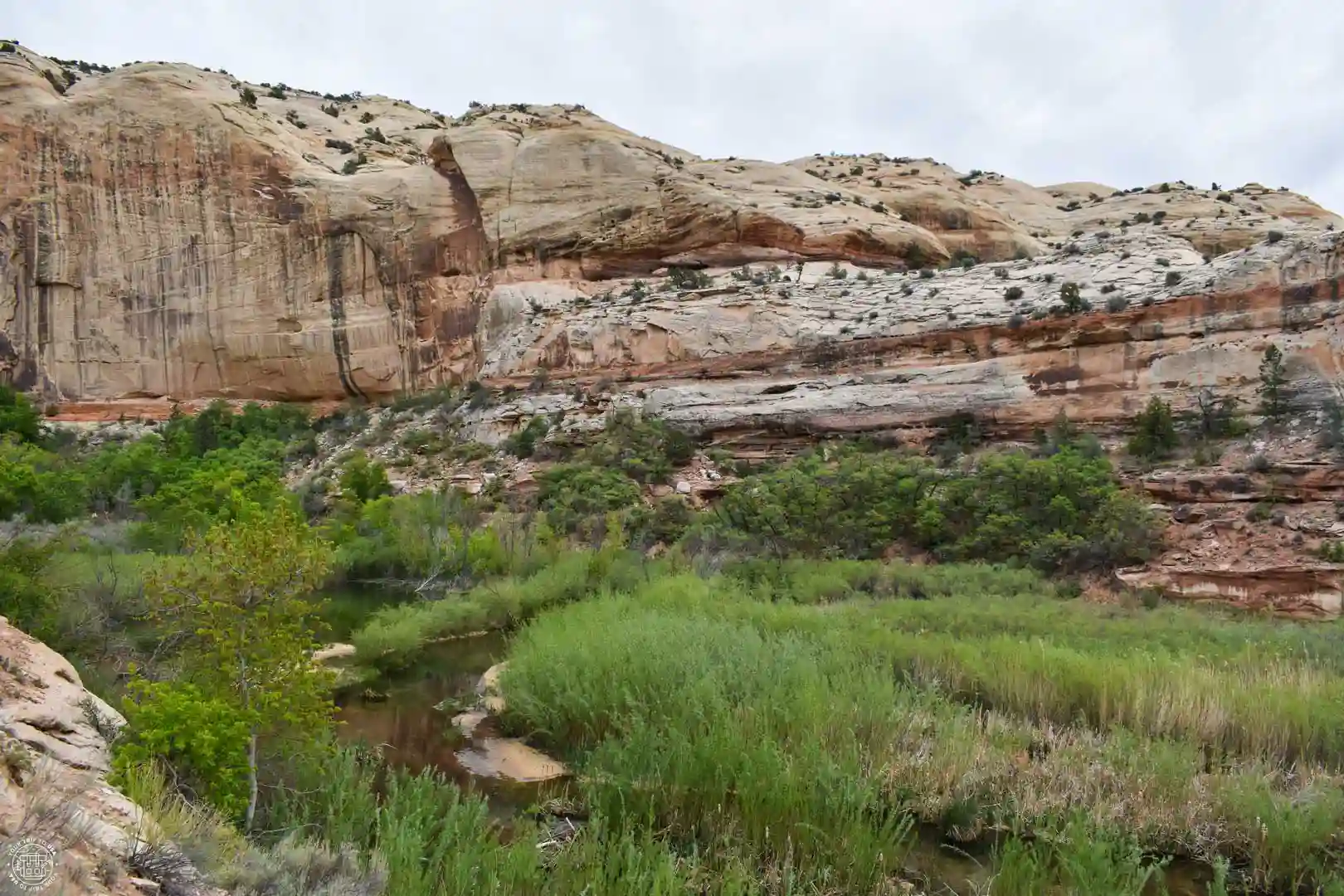
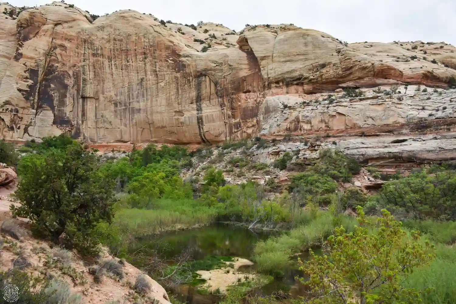
After a couple of switchbacks to gain a little elevation, the trail approaches the river and continues parallel to it the entire way. The trail is slightly higher than the creek—presumably to protect it from flash floods—which offers better views of the entire canyon. Carved out by Calf Creek over millions of years, the canyon has become a natural refuge for animals and plants in search of water.
We recommend that you keep noise to a minimum so you can spot animals such as migratory birds—which stop here to rest in the spring and fall—or resident species like hummingbirds, peregrine falcons, and robins. Believe it or not, the stream is also home to fish—up to three different species of trout! In addition to birds and fish, other animals live in the canyon, such as lizards, deer, ground squirrels, coyotes, porcupines, and even mountain lions, although most of them are very hard to spot.
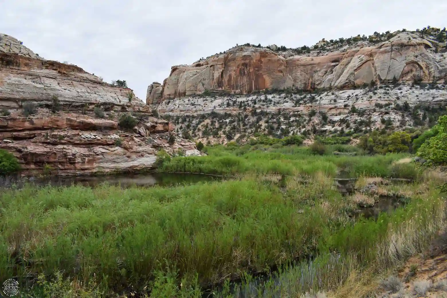
At the parking lot booth, next to the campground's restroom area, you'll find brochures published by the Grand Staircase-Escalante National Monument park rangers, which provide information about the canyon and explanations of up to 14 points along the trail that you’ll find marked with numbers as you walk.
Of these, there are four that are worth highlighting. The first is number 3, where you can see the ponds created in the river by a beaver colony; thanks to their tireless work, larger wetlands have been created that benefit many other animals.
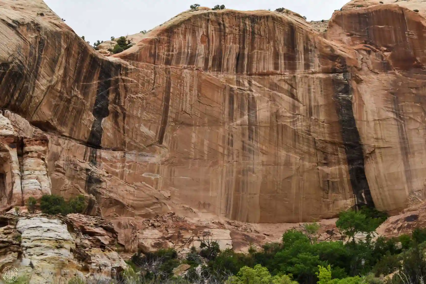
The next stop is number 5, where you can see the remains of granaries built by the Fremont culture—which inhabited what we now know as Utah between 700 and 1,300 AD—perched on the ledges on the left side of the canyon. At number 8, you’ll see three large red figures painted on the rock, which also belong to the Fremont culture; they’re located on the right side of the canyon and are best viewed with binoculars.

RENT A CAR IN THE UNITED STATES
The best way to explore the United States is by car, giving you the freedom to travel at your own pace.
🚗 Whether you’re looking for a convertible Mustang, a 4x4, or a regular car, we recommend to book through this car rental search engine
💸 This is where we find the best prices, both on the rental car itself and on full coverage insurance!
Another interesting fact you can learn along this trail is about the microorganisms that live in the rocks. If you stop at point number 7 and look at the canyon walls, you’ll see dark streaks covering some areas. These are created by microbes, which oxidize the iron and manganese in the clay deposited by the wind on the rocks, creating these “varnishes” in colors ranging from black to orange and yellow, depending on the humidity of the area. This process, known as desert varnish, can be seen in other arid regions of the planet.
Finally, after walking 3 miles (5 km) and stopping at a few of the points along the route, the path widens and you’ll reach a grove of trees; you’ll need to walk through it to get to the waterfall and the pool it forms. This area is sandy, creating a small beach where you can rest for a while, cool off, take photos, enjoy the waterfall, have a snack, and get ready for the return trip along the same path.
Is the Lower Calf Creek Falls Hike difficult?
The Lower Creek Calf Falls Trail is an easy trail with no significant difficulty, as it has no steep inclines or difficult sections. Keep in mind that it is somewhat long—6 miles (10 km)—and some sections are sandy, which makes it harder to walk. Furthermore, although the temperature is cooler inside the canyon due to the cooling effect of the water, the sun in this part of the country is intense during the summer, and there isn’t much shade along the trail.
We recommend bringing plenty of water, a cap or hat, sunglasses, long sleeves, and/or sunscreen. If you plan to swim, we recommend using a physical sunscreen that does not harm aquatic ecosystems, so as not to harm the animals and plants that live in the canyon.
Is the Lower Calf Creek Falls Hike suitable for children?
This is an ideal hike to take with children, especially during the hottest months, since they’ll love splashing around and even swimming in the large pool at the base of the waterfall. That said, they need to be used to walking; although the route has very little elevation gain, it’s quite long, and there are some sandy sections that make it harder to walk.
Keep in mind that the sun is very strong in this part of the country, so be sure to protect children accordingly with a hat or cap, sunglasses, long sleeves, or sunscreen. Remember that it’s best to use a sunscreen with a physical filter to avoid harming aquatic ecosystems if you plan to go swimming.
Tips for Lower Calf Creek Falls Hike
- 💳 Don't forget to pay for parking or to display your "America the Beautiful" pass on your windshield.
- 🌄 In the summer, try to avoid hiking during the middle of the day; it's best to go first thing in the morning or in the afternoon.
- 🗺️ Pick up a brochure about the trail at the booth at the entrance—it'll be very helpful as you explore the canyon.
- ⛈️ Check the flood risk on this website, as afternoon thunderstorms are common in the summer, turning the canyons into death traps.
- 🚶🏻Don't stray from the marked trail—you'll damage the vegetation, and it's everyone's responsibility to preserve it.
- 🧢 Don't forget your hat, sunglasses, and sunscreen—the sun is very strong in the summer, and there's not much shade.
- 🧴 If you plan to swim in the waterfall pool , be sure to wear a physical sunscreen that is safe for aquatic environments.
- 💧 Bring plenty of water if you're going hiking in the summer—at least half gallon (2 liters) per person, or more. Drinking water is available at the campground from April through October.
- 🥪 Pack some snacks in case you get hungry or need to recharge.
- 🚾 Use the restrooms in the parking lot; there aren't any along the trail.
- 🐶 Dogs must be on a leash at all times.
- 🚮 Don't leave trash behind, and don't move or take anything from the park (plants, rocks, animals).
- 🖼️ Respect archaeological sites.

🚐 The U.S. is a paradise for traveling by camper van or motorhome: there are plenty of campgrounds, wonderful places to stay overnight for free, and amenities around every corner.
If you'd like to try this way of traveling, the United States is the place to do it!
💸 And you can save a lot of money on lodging and food!
➡️ We always book through this rental search engine because they work with all the companies and have great deals.
Is the hike to Lower Calf Creek Falls worth it?
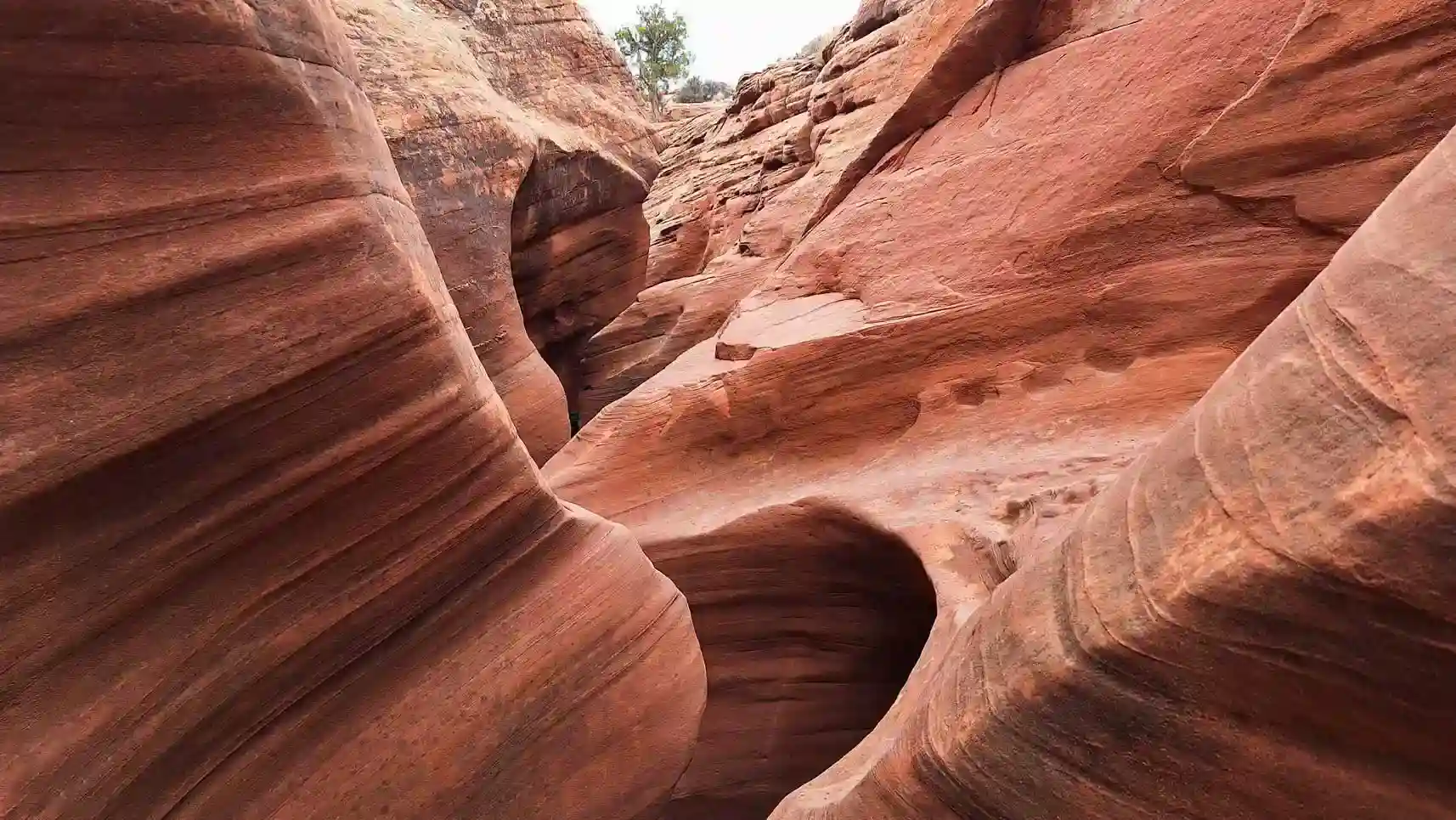
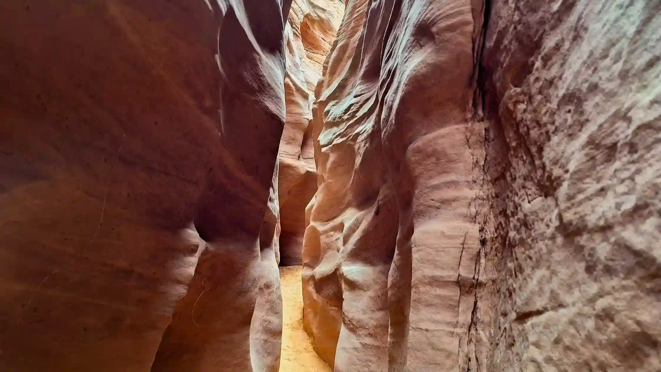
From our perspective, this is a route that’s definitely worth it if you’re in Escalante and have at least one day to explore the area, but don’t feel up to tackling the narrow passages of the Spooky and Peek-A-Boo Slot Canyons hike. This is a place with a landscape completely different from what you’ll find in the surrounding area, and it’s home to much more plant and animal life.
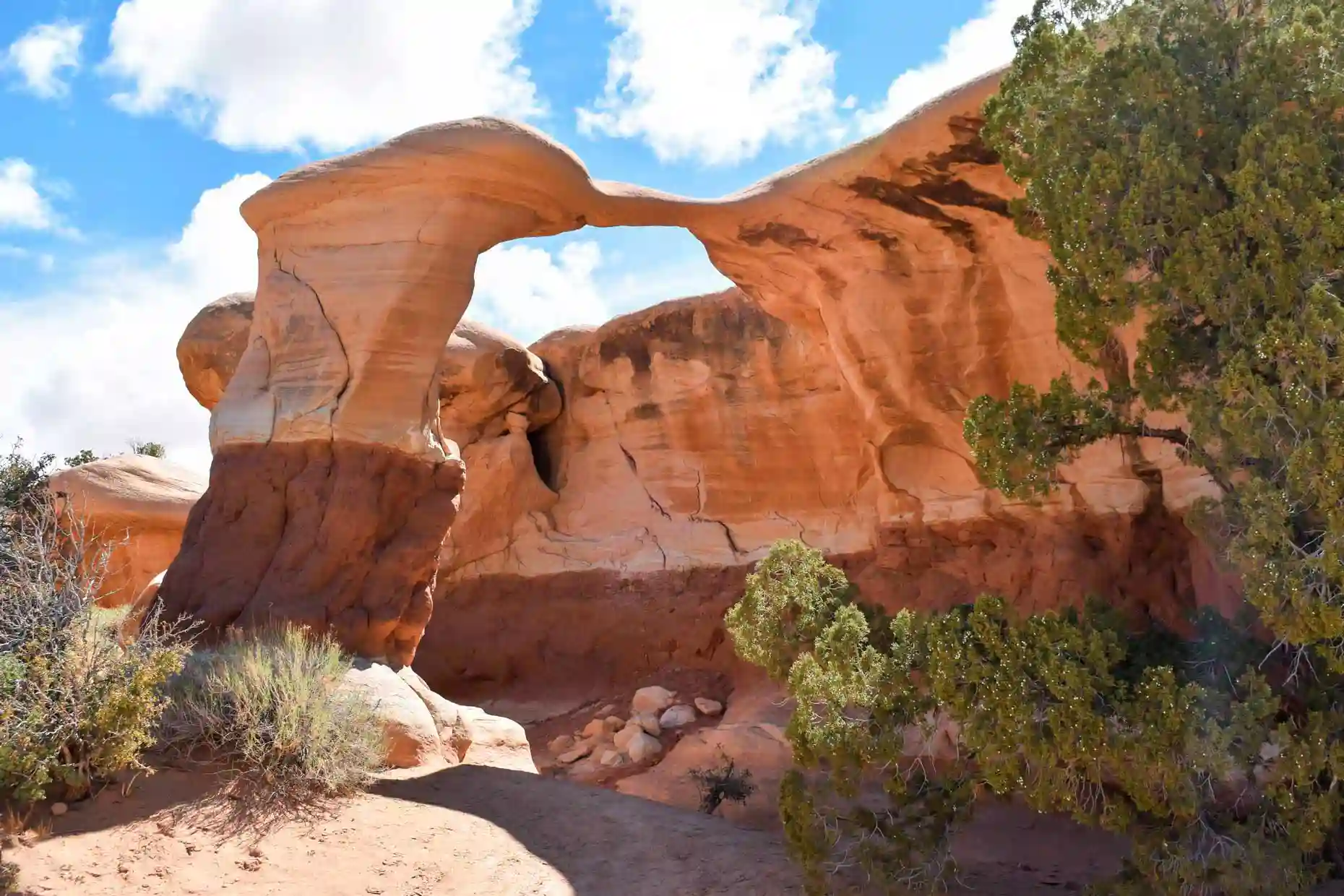
If you have two or more days and aren't planning to visit either Coyote Gulch or Reflection Canyon, then we consider this a must-see, along with the Escalante Natural Bridge, Devil's Garden, and some of Escalante's best slot canyons.
Frequently Asked Questions About the Lower Calf Creek Falls Hike
How long does the hike to Lower Calf Creek Falls take?
The round-trip hike to Lower Calf Creek Falls takes about 3 to 4 hours, although the time may vary depending on your pace and the stops you make along the way.
How many miles long is the Lower Calf Creek Falls trail?
The hike is about 6 miles (10 km) round trip. The trail is practically straight and follows the course of Calf Creek until it reaches the waterfall.
How difficult is the hike to Lower Calf Creek Falls?
The trail is considered easy, although it is a bit long and some sections are sandy. It has no significant elevation changes or exposed sections, so no mountaineering experience is necessary.
Is Lower Calf Creek Falls a good place to visit with kids?
Yes. Although the distance is considerable for young children, the trail does not have any technical sections or steep inclines and can be done as a family if the children are used to walking several miles. It is important to bring enough water and sun protection, especially during the hottest months.
When is the best time to hike Lower Calf Creek Falls?
Spring and fall are the best times to hike this trail, as the temperatures are more pleasant for walking. In summer, it can get very hot, so it’s essential to start early and bring plenty of water. Winter offers a different landscape, though you may encounter snow or ice along the way.
We hope this post about the Lower Calf Creek Falls Hike will help you plan your next adventure!