

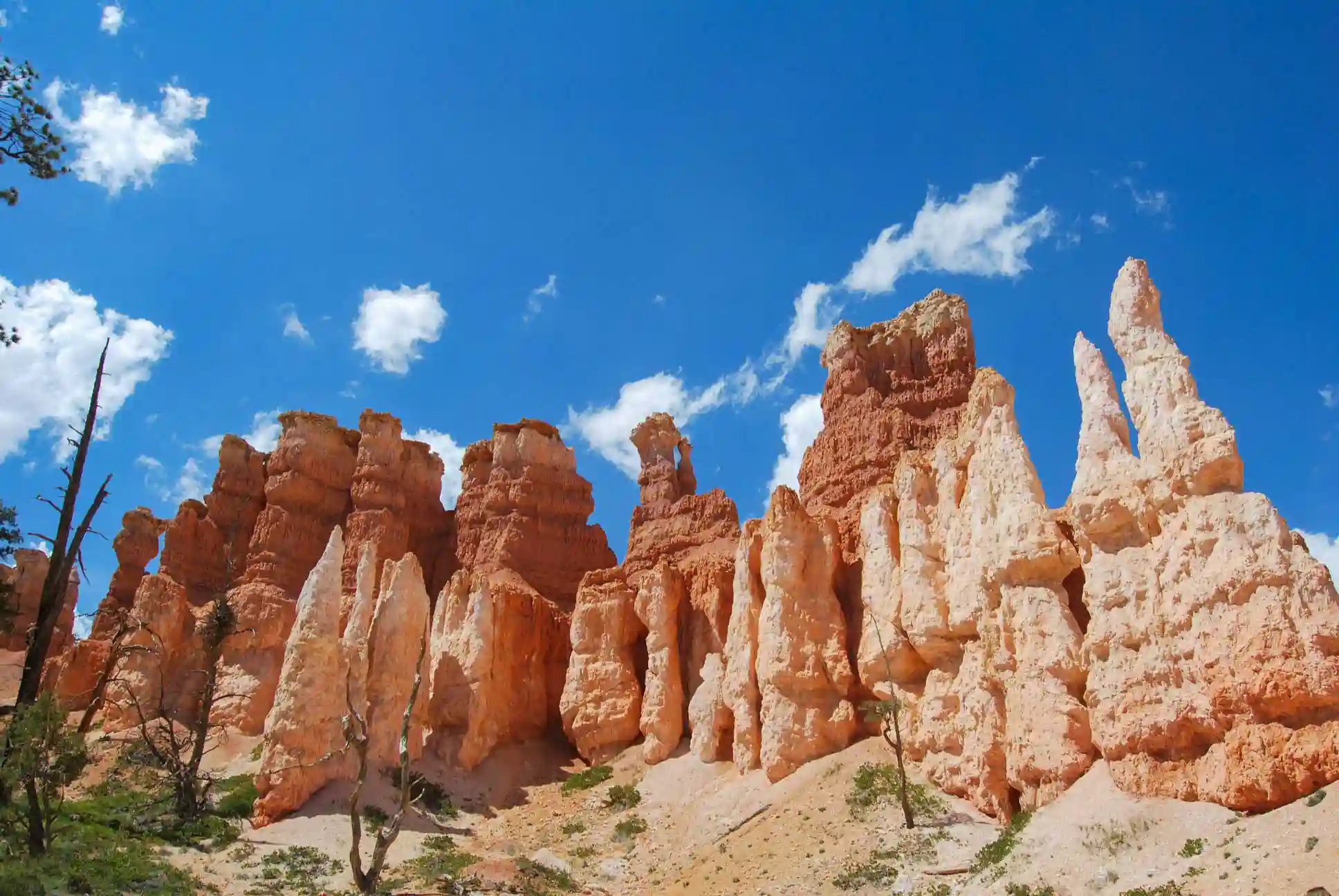
Best Things to Do in Bryce Canyon National Park (Must-Sees)
Bryce Point
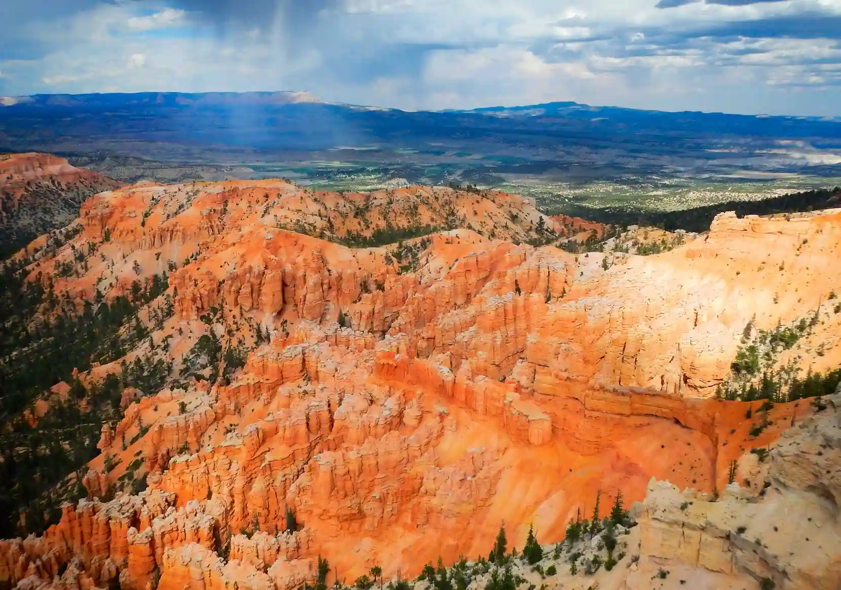
We'll start with the most panoramic overlook in Bryce Amphitheater —and one of the most spectacular, if not the most spectacular of all. Its strategic location on the southern edge of the amphitheater and its height above the other overlooks and hoodoos make it a must-see on any visit to this park.
From here, you’ll have panoramic views of the park’s main area, and it’s the ideal place to start the Rim Trail—the trail that runs along the edge of the amphitheater, passing a series of overlooks offering views of the world’s largest concentration of hoodoos. One of the areas you’ll be able to see from Bryce Point is the Wall of Windows, a rock face where “new” hoodoos are forming, with some window-like openings between them.
To get there, you can walk along the Rim Trail, drive, or take the bus—which is the option we recommend—and then walk to the other overlooks. This way, the path is mostly downhill to Sunrise Point, where you can catch the bus again.
💡 In our exclusive post on how to visit Bryce Canyon, we give you all the details about the shuttle bus and lots of other tips
Inspiration Point
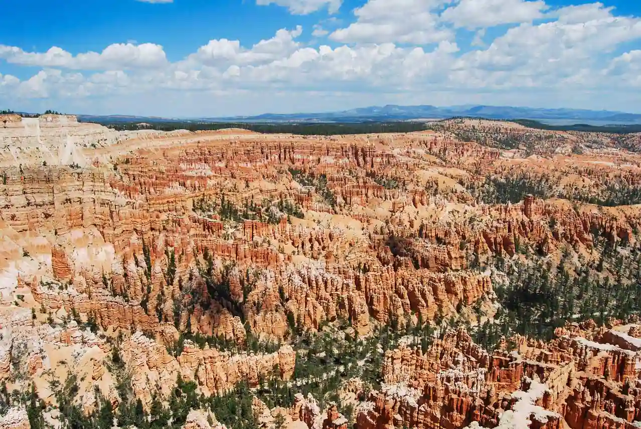
This isn't just one overlook, but three consecutive ones that offer slightly different views of the Bryce Amphitheater. What makes these truly special is that you see the hoodoos from a higher, more lateral vantage point—and not as far away as Bryce Point—which allows you to see the fairy chimneys in greater detail. This specific area of the amphitheater is called Silent City.
Plus, from here you can see the full range of colors, from white to orange to red. We've visited this spot twice, and both times we were captivated—you shouldn't miss it!
To get there , we recommend walking along the Rim Trail from Bryce Point, or if you don't want to walk that far, starting the Rim Trail from here—either by getting off at the Inspiration Point stop or driving there.
Sunset Point
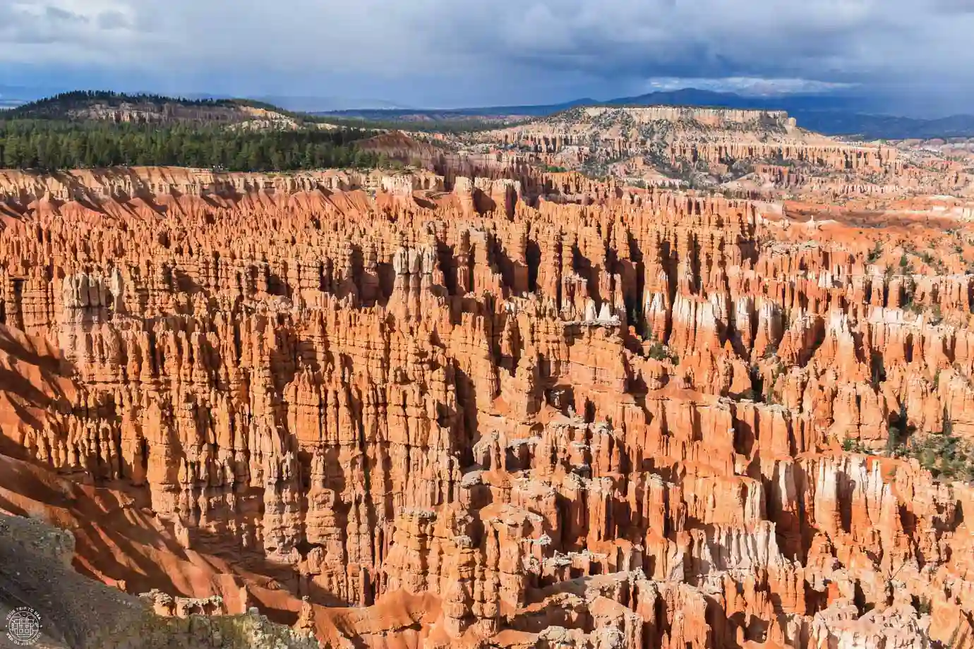
Without a doubt, one of the most spectacular spots in the park. Located in the central area of Bryce Amphitheater, it offers wonderful, up-close views of the hoodoos. This is where the park’s most incredible trail begins—the Navajo Loop Trail—which you shouldn’t miss if your physical condition allows it.
One of the features that makes this overlook special is its proximity to Silent City, a large cluster of hoodoos that can be seen from both here and Inspiration Point.
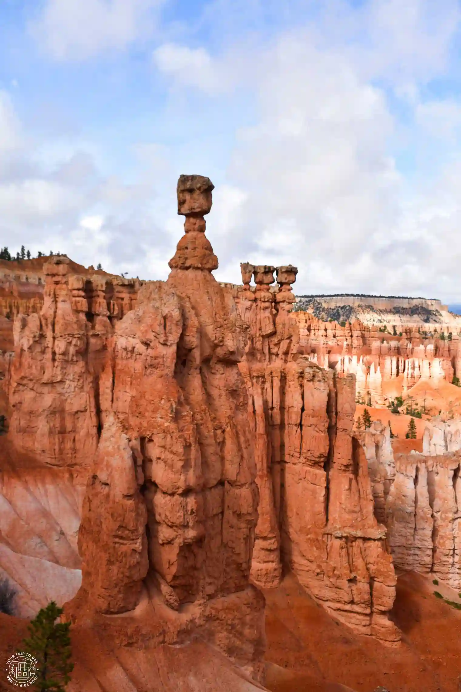
But if there's one hoodoo you shouldn't miss, it's Thor's Hammer—the park's most famous feature—a pointed fairy chimney topped by a large rectangular rock that might remind you of a hammer. That's the reason behind its mythological name!

RENT A CAR IN THE UNITED STATES
The best way to explore the United States is by car, giving you the freedom to travel at your own pace.
🚗 Whether you’re looking for a convertible Mustang, a 4x4, or a regular car, we recommend to book through this car rental search engine
💸 This is where we find the best prices, both on the rental car itself and on full coverage insurance!
Just like Sunrise Point, the name was given when Bryce Lodge first opened, and although it might suggest that you should visit at sunset, the views are spectacular throughout the day. In fact, midday is when you can take the best photos of the hoodoos, since the sun is highest in the sky and they don’t cast shadows on one another—though in the middle of summer, the heat and sun can be intense.
To get there, we recommend taking the Rim Trail, starting at Bryce Point and passing through Inspiration Point. If you'd rather go directly there, you can drive or take the bus and get off at Sunset Point.
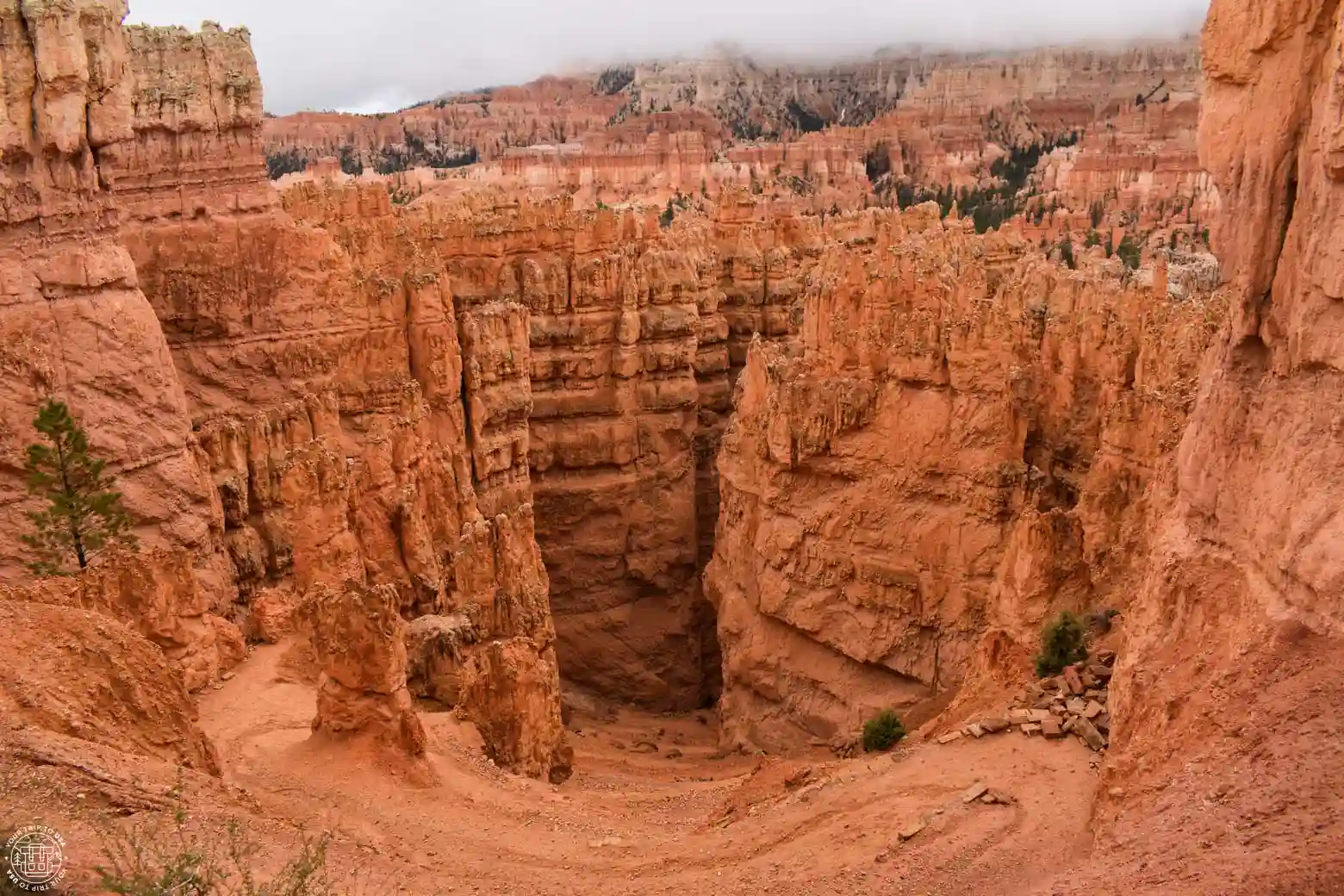
Sunrise Point
We finally arrived at Sunrise Point, one of the four most iconic overlooks in the Bryce Amphitheater —and one you definitely shouldn’t miss. What makes this spot unique is that it offers a more side-on view of the amphitheater, allowing you to observe how the hoodoos change depending on their state of erosion.
Located in the northern part of the amphitheater, this is the perfect spot to finish the Rim Trail and catch the bus back to your car. The Queens Garden Trail also starts here.
Although the name might suggest that you should visit at sunrise, the overlook is spectacular throughout the day; in fact, the names of this spot and Sunset Point were chosen to attract visitors during the early years of the Bryce Lodge.
To get here, you can drive or take the bus and get off at Sunrise Point or Bryce Lodge.
Rim Trail
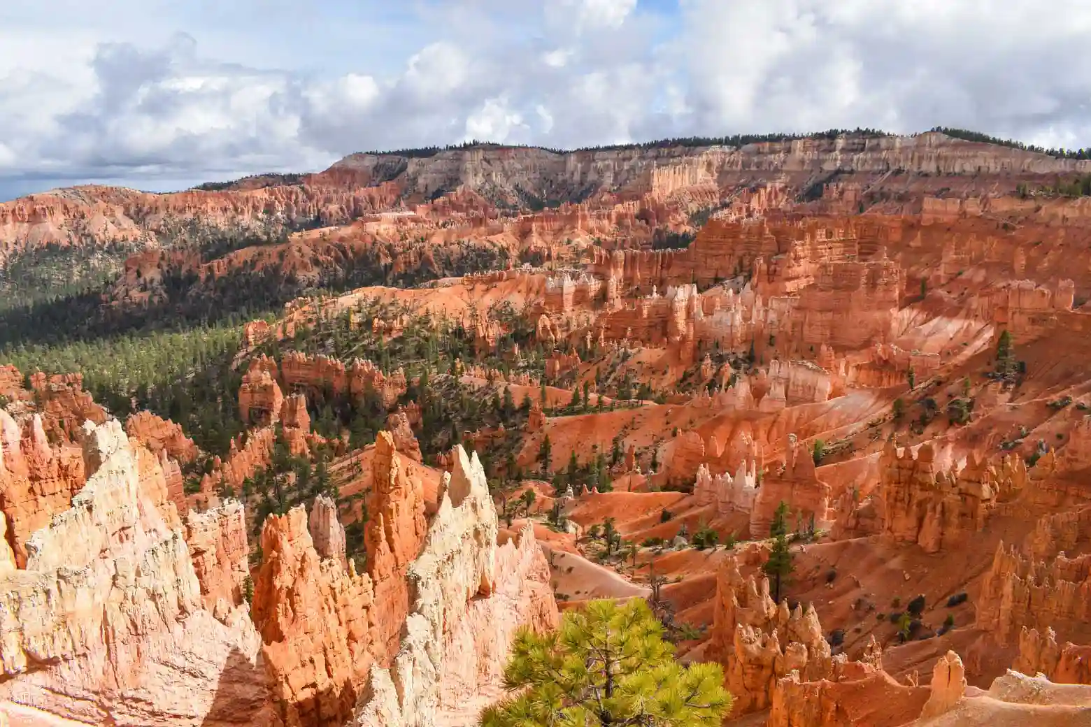
One of the best Bryce Canyon hikes—and one you should definitely do—is the Rim Trail, which is easy if you hike from Bryce Point to Sunrise, since it’s only 2.7 miles (4.3 km) and all downhill. It connects the park’s four best overlooks via an easy trail along the cliff’s edge, including Fairyland Point—a more remote overlook with no bus service, which is why we recommend going only as far as Sunrise. These overlooks are none other than Bryce, Inspiration, Sunset, and Sunrise Point.
As we've mentioned at the various overlooks, the views are incredible at every turn and let you see the hoodoos and the amphitheater from different angles, making this Bryce Canyon hike a real treat.

🚐 The U.S. is a paradise for traveling by camper van or motorhome: there are plenty of campgrounds, wonderful places to stay overnight for free, and amenities around every corner.
If you'd like to try this way of traveling, the United States is the place to do it!
💸 And you can save a lot of money on lodging and food!
➡️ We always book through this rental search engine because they work with all the companies and have great deals.
If you want to hike the entire trail to Fairyland, keep in mind that you’ll have to hike back to Sunrise to catch the bus again, making the total distance 8.3 miles (13.3 km) with a 525-foot (160 m) descent and an 262-foot (80 m) ascent—which makes it a moderate-level hike. It’s also possible to take shorter routes, such as from Inspiration to Sunrise, which is only 1.2 miles (1.9 km) long.
If you have time and are physically able, we recommend supplementing your hike with the Navajo Loop Trail and the Queens Garden Trail, so you can get a complete view—both from above and below—of the cliff and the entire amphitheater filled with hoodoos.
Navajo Loop Trail
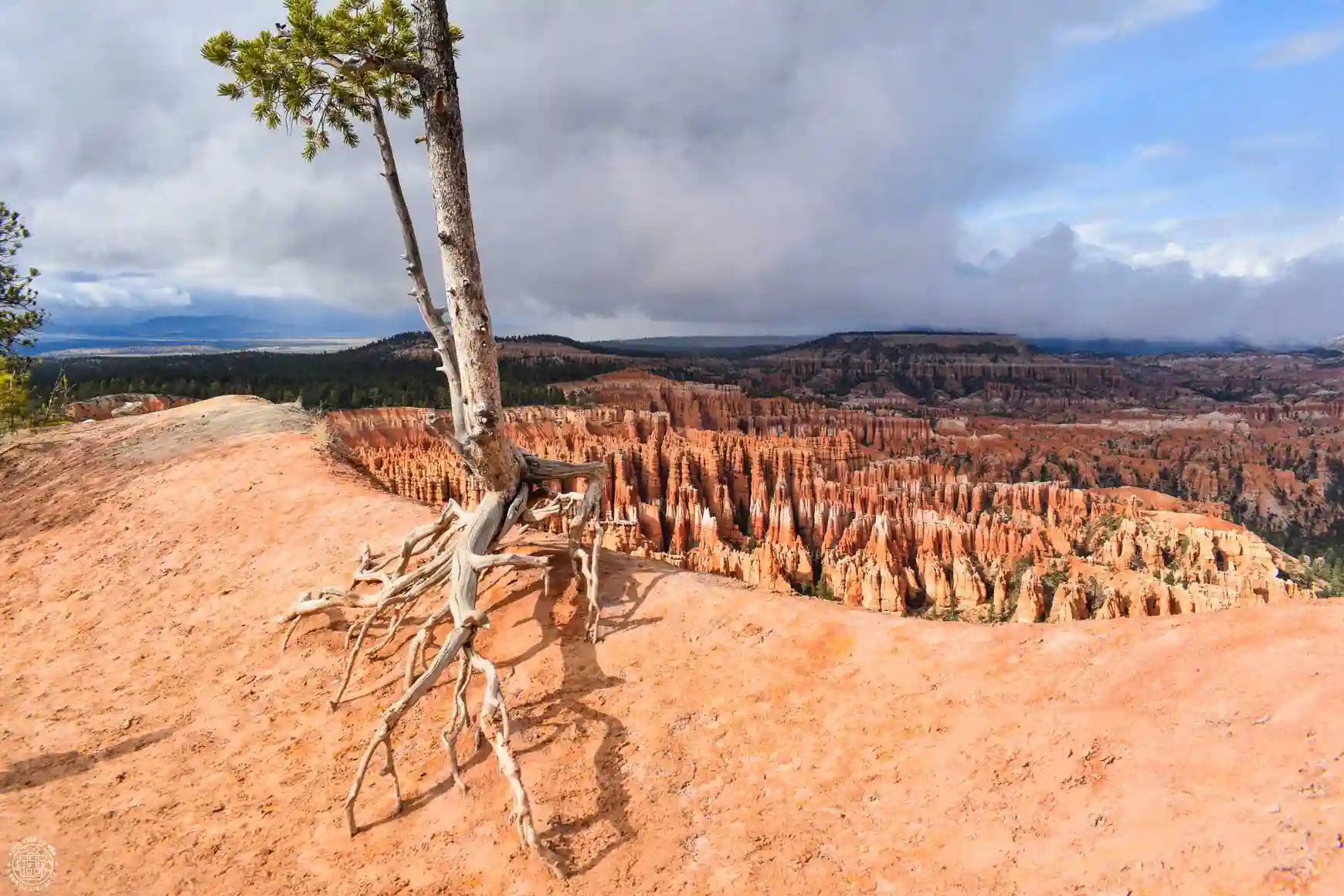
If you want to experience the hoodoos from a different perspective, walk among them, and get up close to some of the park’s most fascinating and iconic features, you should hike the Navajo Loop Trail. This trail gradually winds its way into the amphitheater, allowing you to see the hoodoos up close.
This is a loop trail that starts at Sunset Point. If you take the trail on the right, you’ll leave Silent City on your right and head into Wall Street, a path lined on both sides by towering hoodoos the entire way. The views are breathtaking, and the sandstone walls seem to grow taller with every step.

-Sites: Fairyland Canyon, Natural Bridge, Inspiration Point,
Sunset Point, Sunrise Point and more
-Includes: transportation and guide
-Duration: 3 hours
If you take the path on the left, you’ll pass very close to Thor’s Hammer, enjoying a magnificent view of it, and you’ll reach Two Bridges, a very narrow opening between the hoodoos where two natural stone bridges have withstood the elements. The two sides meet, allowing you to complete the loop trail.
The Bryce Canyon hike is 1.3 miles (2.1 km) long with an elevation gain of 515 feet (157 m); it is considered moderately difficult and takes between 1 and 2 hours. The trail intersects with two other trails, the Queens Garden Trail and the Peekaboo Loop Trail, allowing for longer hikes deeper into the canyon.
Queens Garden Trail
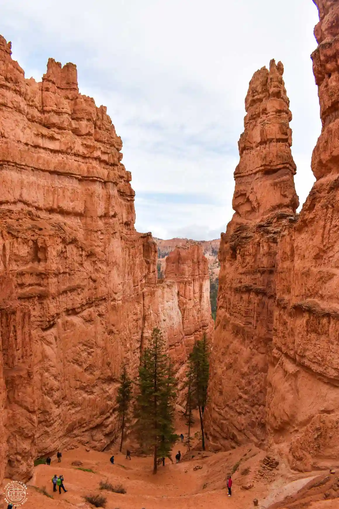
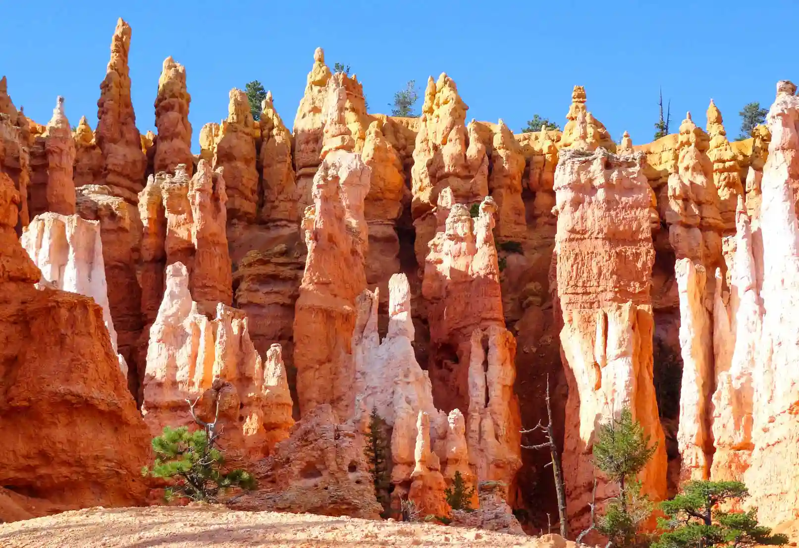
The Queens Garden Trail is a 1.8-mile-long or 2.9 km (round-trip) trail with an elevation gain of 449 feet (137 m) and a moderate difficulty level; it takes 1 to 2 hours to complete and takes you to a rock formation called Queen Victoria. It is a linear trail that begins and ends at Sunrise Point and allows you to venture among the hoodoos.
Although it isn't as spectacular as the Navajo Loop Trail, you can combine it with that trail to create a much more complete Bryce Canyon hike. This combination of the two trails is very popular, as it allows you to enjoy different views. The hike is 2.9 miles (4.6 km) long, with an elevation gain of 627 feet (191 m), and is rated as moderate in difficulty, making it a 2 to 3-hour hike.
Less-Known Spots in Bryce Canyon
Fairyland Point
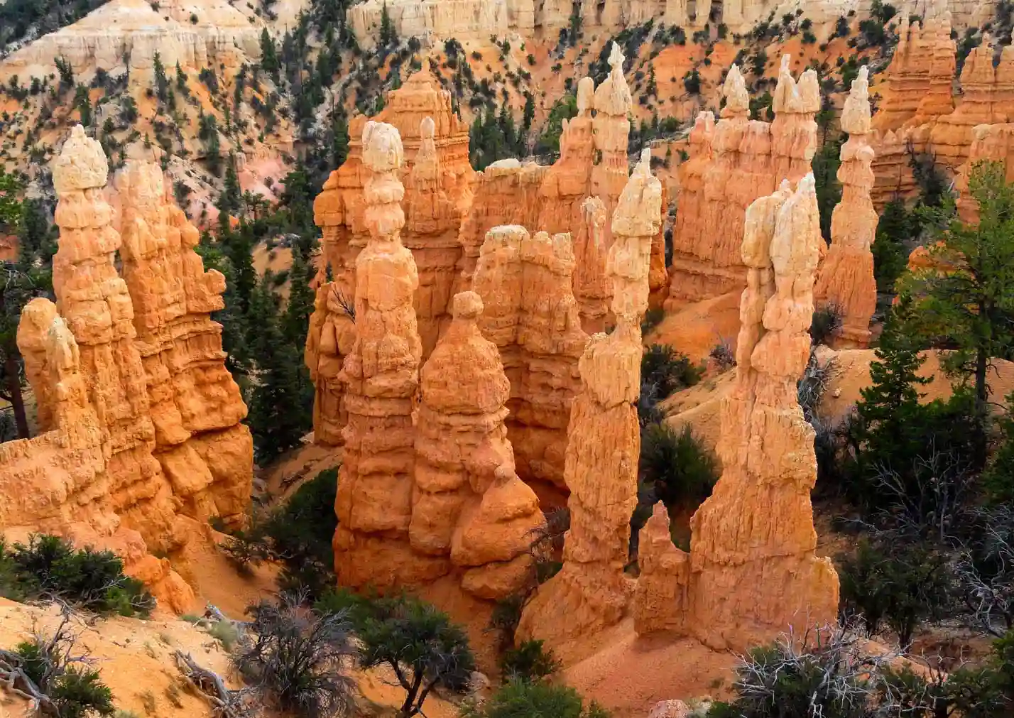
This overlook is located at the northern end of the park, providing access to an area where the hoodoos are “younger” and therefore less eroded than in other parts of the park. To get there, you’ll need to drive, as there’s no bus service, or walk along the Rim Trail, since it’s located at one of the park’s ends. The access road closes in winter so visitors can go cross-country skiing or snowshoeing.
Paria View
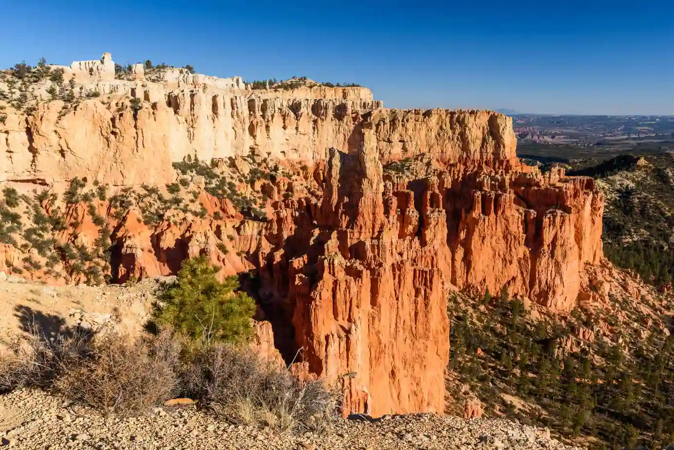
This overlook, located relatively close to Bryce Point, offers a completely different panoramic view, as it faces south, where the rock formations are different and the hoodoos give way to much steeper cliffs. The only way to get there is by car, and access is closed during the winter.
Viewpoints along the Southern Scenic Drive
This wonderful 18-mile-long road (29 km) runs through the southern part of the park and takes you to a multitude of overlooks perched on the edge of the cliff. You'll need a car to travel along it, since there is no bus service south of Bryce Amphitheater. Our advice is that if you want to see the entire route, head first to the last overlook and then drive back up, stopping at each one along the way.
Here is a brief description of them:
Swamp Canyon Overlook
This is the first overlook you'll come across if you decide to drive along the Southern Scenic Drive. It offers a vantage point over the small Swamp Canyon and provides views that are different from those you'll find in the Bryce Amphitheater area.
A circular trail starts here and descends to the bottom of the canyon; it’s called the Swamp Canyon Loop Trail and connects to the Under-the-Rim Trail. This trail crosses the entire southern part of the park from Rainbow Point to Bryce Point along the canyon floor, and it takes between 2 and 3 days to complete.
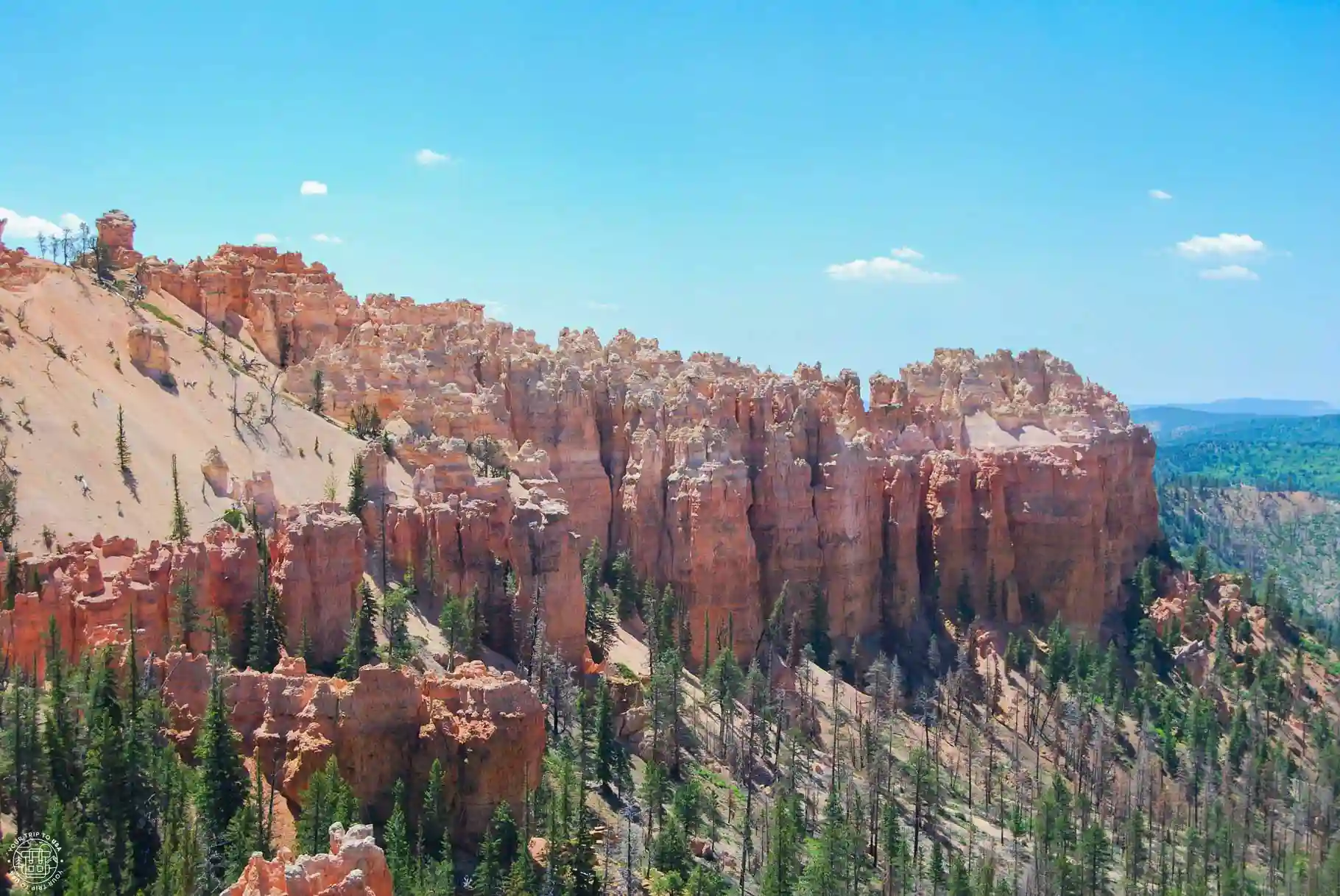
Piracy Point and Fairpoint View
These two overlooks are very close to each other, which is why they share the same parking lot. While Piracy Point faces north and overlooks Swamp Canyon, Fairpoint faces east and offers a magnificent panoramic view of the surrounding mountain ranges and even as far as the Arizona border, 90 miles (150 km) away. This is due to the excellent air quality in the national park, which means visibility is usually unbeatable.

INTERNET IN THE UNITED STATES
💡 The most convenient way to get internet access in the U.S. is to buy an eSIM—that way, you'll have a connection as soon as you set foot in the country. Plus, local SIM cards in the U.S. are pretty expensive.
💸 We have 2 discounts for your unlimited data eSIM for the US:
⭐5% OFF with Holafly ➡️ Excellent coverage
⭐20% OFF with eSIMFlag ➡️ Best price
🤓 Take a loot at: Best SIMs & eSIMs for traveling to the USA
Natural Bridge
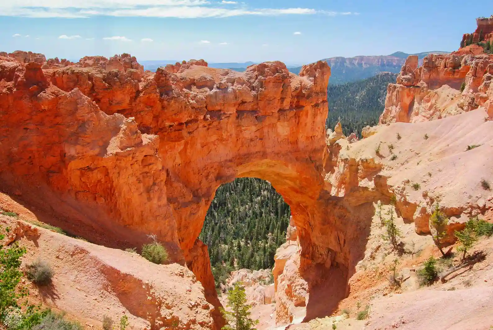
This is the third parking lot you'll come to as you head south on Southern Scenic Drive, and it's a must-see stop. From this overlook, you can admire a natural stone arch—a rock formation that's not very common, except in Arches National Park.
This particular one was formed by ice expanding within its cracks, creating what is known as a "window." You can see more examples in the same park at The Wall of Windows, from Bryce Point, but not as close up as here.
Agua Canyon
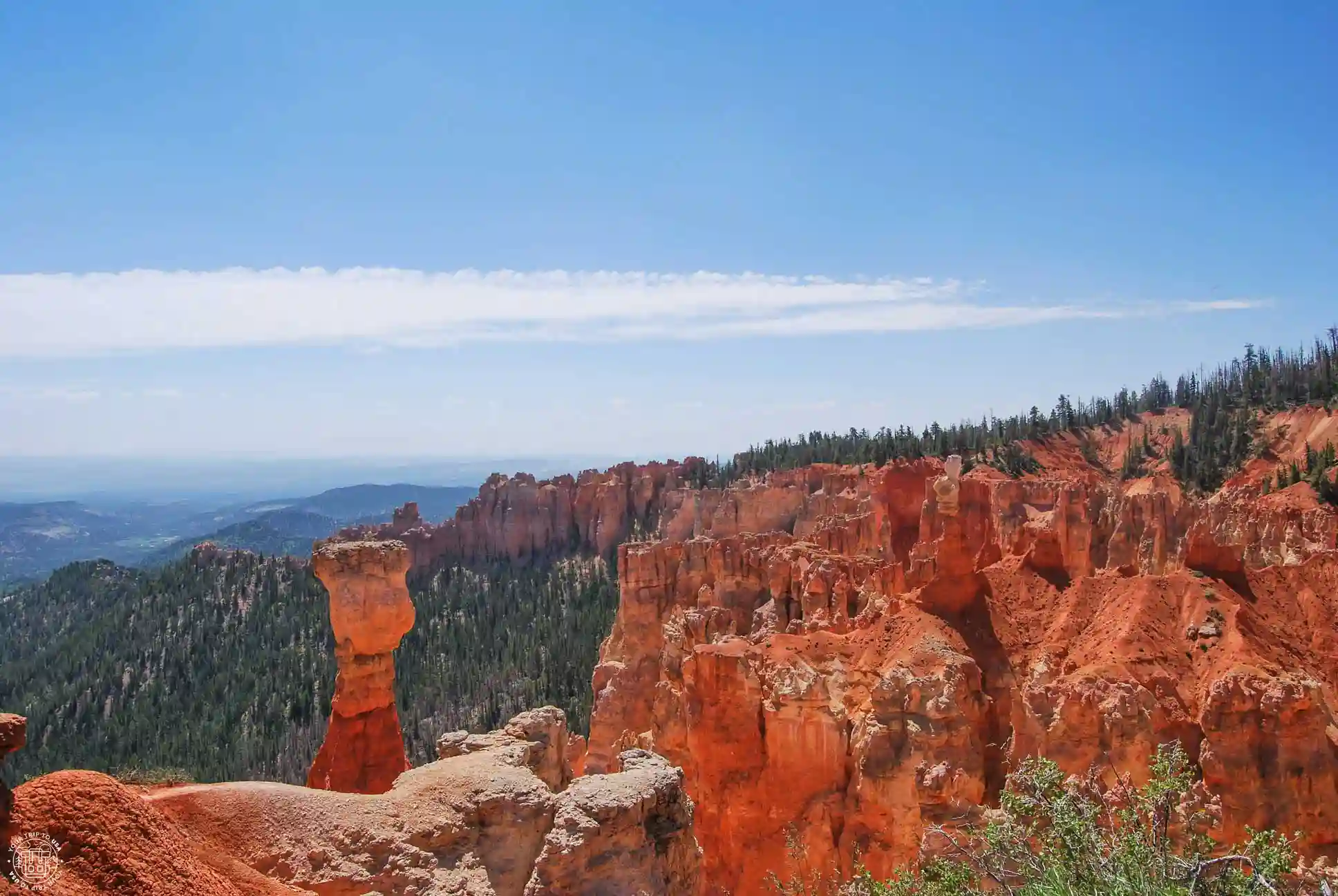
This overlook, located roughly halfway along Southern Scenic Drive, stands out from the others because it features two relatively famous hoodoos. The tallest and most isolated one on the left is called “The Hunter,” and the one on the right is known as “The Rabbit” or “The Backpacker.”
Ponderosa Canyon
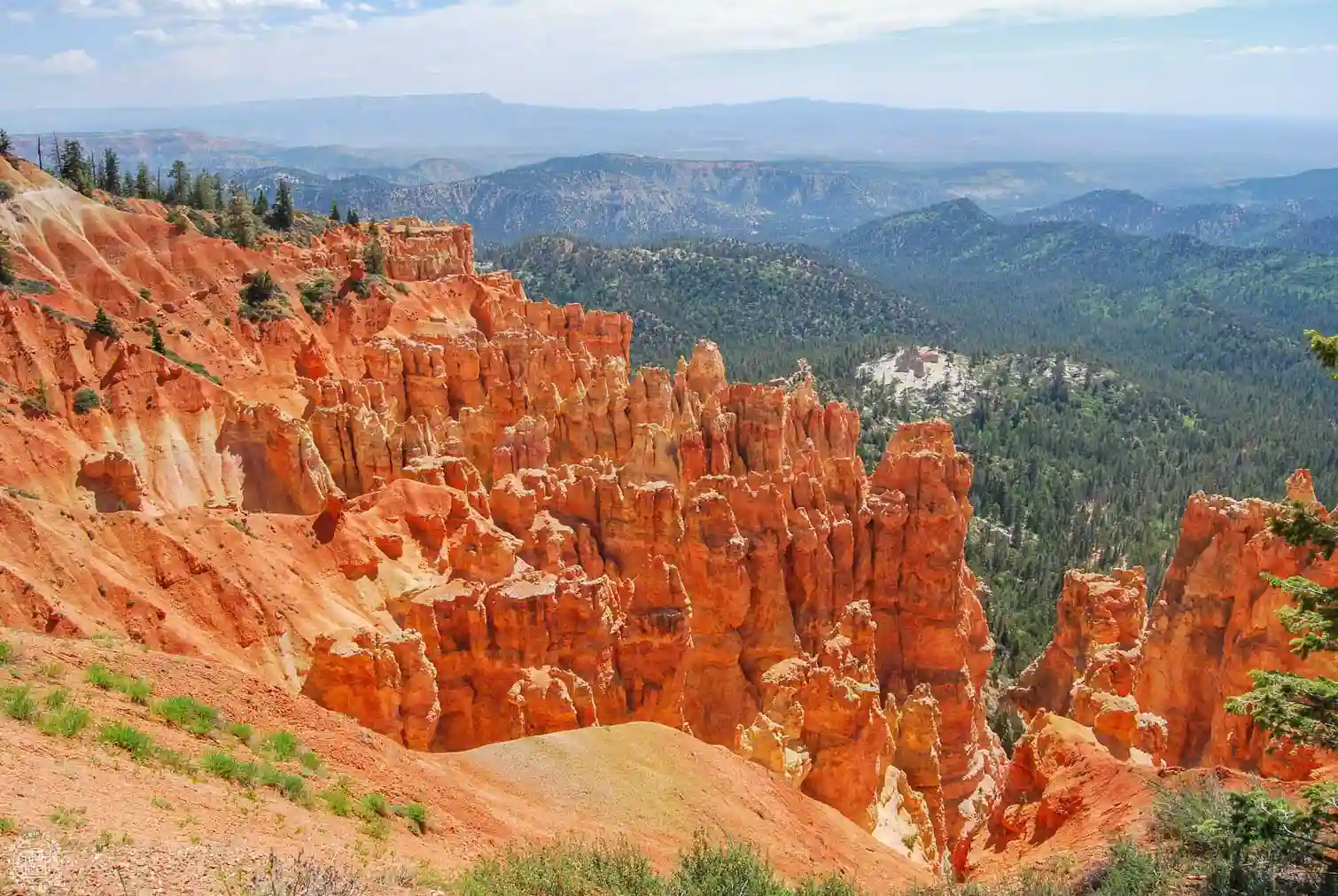
From this lookout, you'll once again be able to enjoy a wealth of hoodoos, surrounded by vast forests of Ponderosa pines—which is where the name comes from.
Black Birch Canyon
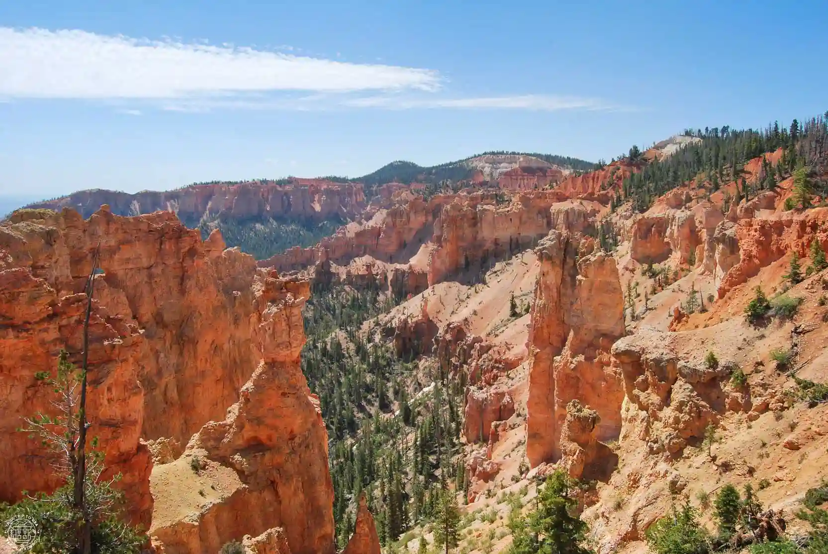
This is the second-to-last overlook on the scenic byway, very close to its end, where you can enjoy stunning views of countless hoodoos surrounded by aspen forests, creating a rainbow of white, orange, red, and green hues. What isn’t entirely clear is where the canyon’s name comes from, since it seems the first Mormon settlers in the area mistook birch trees for aspens. 😄
Rainbow Point and Yovimpa Point
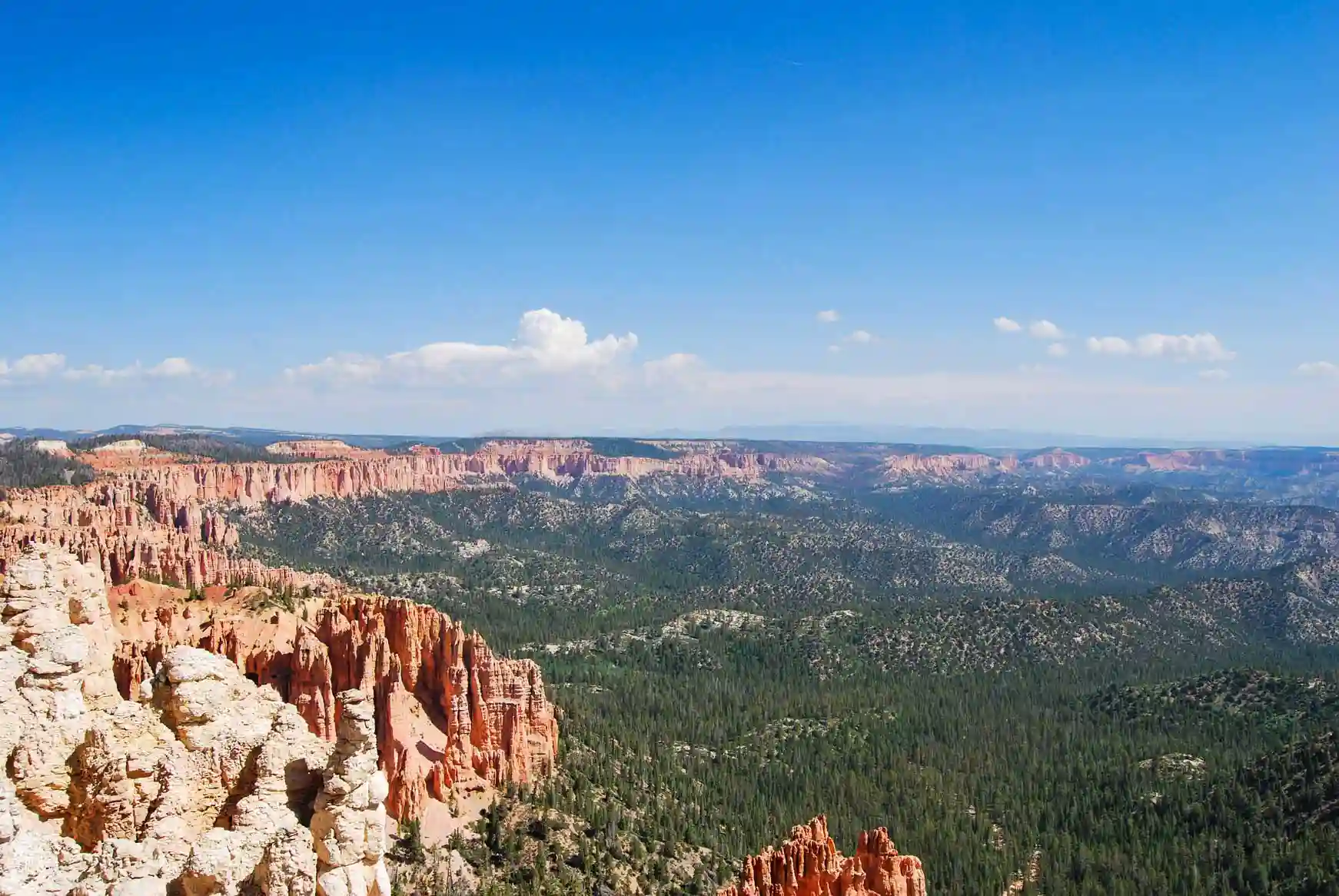
These two overlooks mark the end of the Southern Scenic Drive and the southernmost point of the park. They are also the highest points in Bryce Canyon, at more than 8,800 feet (2,700 m) above sea level.
From Rainbow Point, which faces north, you’ll have excellent views of the cliffs you’ve been driving past along the road, the hoodoos, and the vast forests below. In contrast, Yovimpa Point faces south and offers more panoramic views of the park’s surroundings, with visibility reaching up to 100 miles (161 km) on clear days.
Mossy Cave Trail
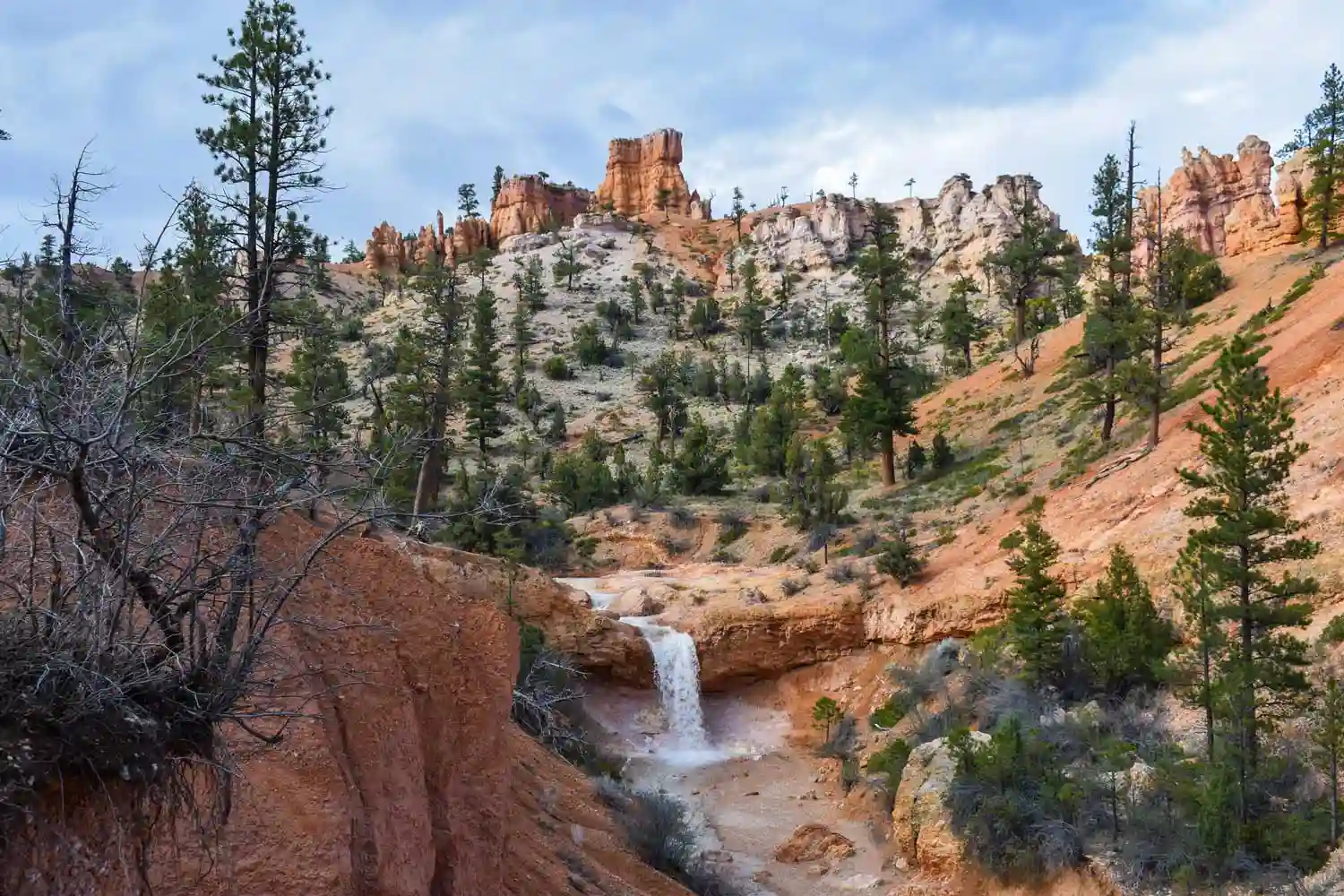
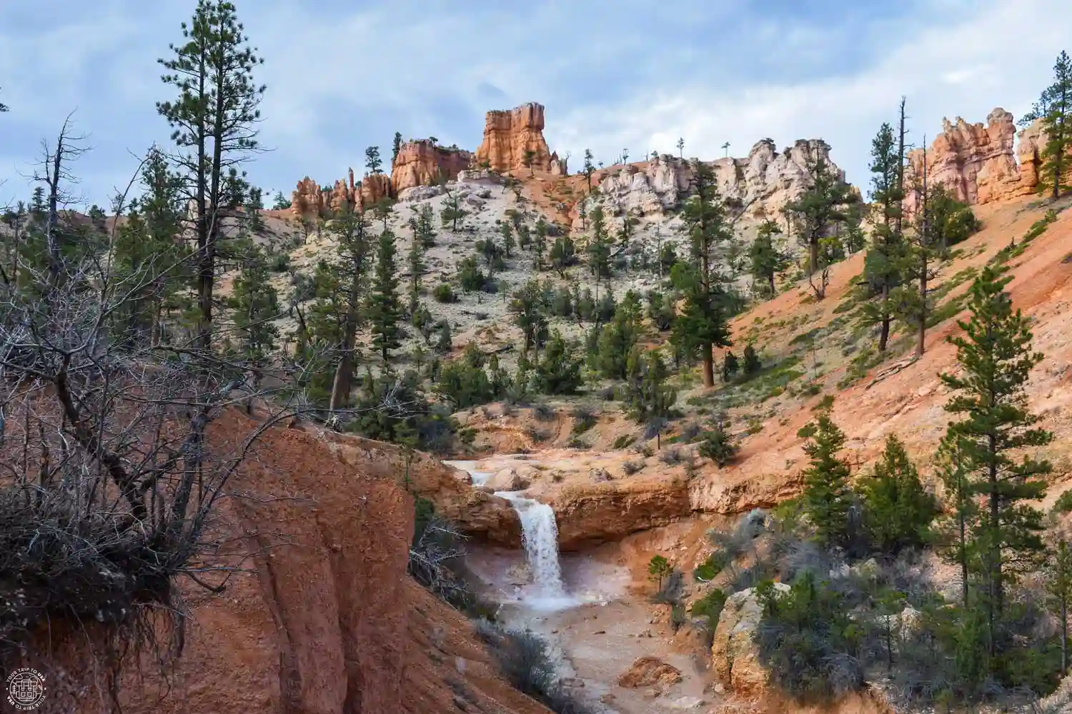
This peaceful and very scenic trail is located outside the park’s paid admission area and is accessible directly from Scenic Highway 12, which connects Panguitch with Torrey in southern Utah. West of the town of Tropic, this trail winds through Water Canyon, a natural canyon fed by the waters of the Tropic Ditch—an artificial canal built by the area’s early settlers in the late 19th century that carries water only from May through October.
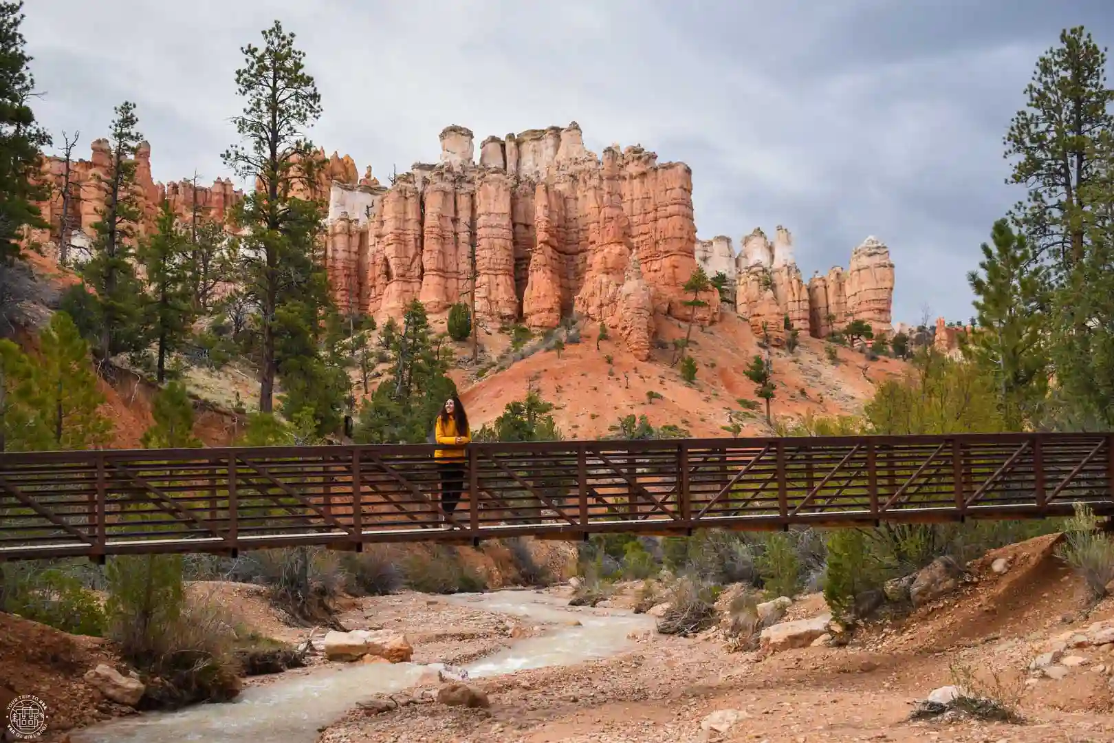
The views of the area's characteristic reddish cliffs from the bottom of the canyon are very beautiful and photogenic. At the end of the trail, you'll find a waterfall and a small cave that gives the trail its name.
What to See in Half a Day at Bryce Canyon
If you only have half a day at Bryce Canyon National Park, you won't have time to drive along the Southern Scenic Road, so you'll need to focus on the park's main and most spectacular area, the Bryce Amphitheater.
We've put together this itinerary assuming you're coming from Zion National Park. If you plan to visit this fantastic park in the morning, we recommend staying in Springdale the night before—for example, at the Zion Park Motel.
🚌 With so little time in Bryce, we recommend that you head straight to the shuttle bus parking lot in Bryce Canyon City and leave your car there so you can explore the park by bus. It’s the most convenient way to get to the main viewpoints. Get off at Bryce Point and enjoy this wonderful viewpoint; once you’ve had your fill, start walking along the Rim Trail toward Inspiration Point.
🚶🏻 Take your time enjoying each overlook until you reach Sunset Point, where we recommend hiking the Navajo Loop Trail—it’s a magnificent trail, but it will take you between 1 and 2 hours. To wrap up your visit, head to the last viewpoint of the day, Sunrise Point. From there, you can take the bus back to the parking lot.
🏨 In Bryce Canyon, we recommend staying in Bryce Canyon City—for example, at the Bryce View Lodge.
💡 In our exclusive post on where to stay in Bryce Canyon, you'll find many more recommendations for places to stay
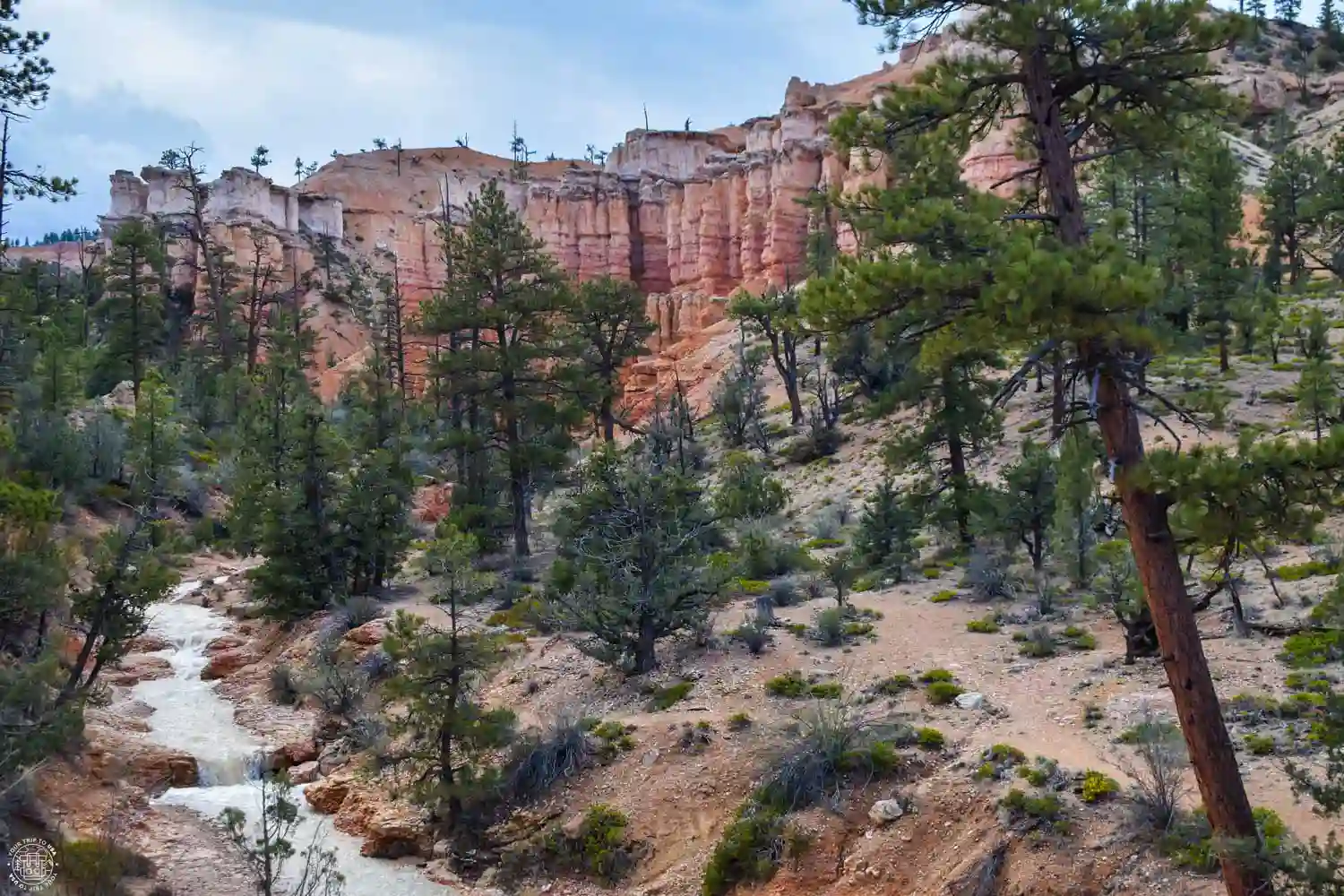
What to See in One Day at Bryce Canyon
If you have one day to spend at Bryce Canyon National Park, you’ll have time to visit the park’s main attractions, as well as explore some of the lesser-known overlooks. We recommend staying as close to the national park as possible the night before—in Bryce Canyon City, for example, at the Bryce View Lodge.
🚌 We recommend that you go directly to the shuttle bus parking lot in Bryce Canyon City and leave your car there so you can visit the Bryce Amphitheater by bus. It’s the most convenient way to get to the main viewpoints. Get off at Bryce Point and enjoy this wonderful viewpoint; once you’ve had your fill, start walking along the Rim Trail toward Inspiration Point.
🚶🏻 Take your time enjoying each viewpoint until you reach Sunset Point, where we recommend hiking the Navajo Loop Trail—it’s a magnificent trail, but it will take you between 1 and 2 hours. You can combine this hike with the Queens Garden Trail, which will add 1 hour to your trek. If you do this combination, you’ll end up at Sunrise Point, the last of the most famous viewpoints. From there, you can walk along the Rim Trail back to Sunset Point so you don’t miss a single detail of the amphitheater, or you can take the bus back directly from Sunrise Point.
🚗 After this action-packed morning, we recommend that you pick up your car from the parking lot and drive along Southern Scenic Drive. Along this road, you’ll find plenty of overlooks offering a variety of magnificent views of the southern part of the national park. If you have time, you won’t want to miss them!
🏨 If your trip continues on to Page, we recommend staying overnight there (for example, at the Wingate Page), so you can start your sightseeing early the next morning.
💡 In our exclusive post on where to stay in Bryce Canyon, you'll find many more accommodation recommendations
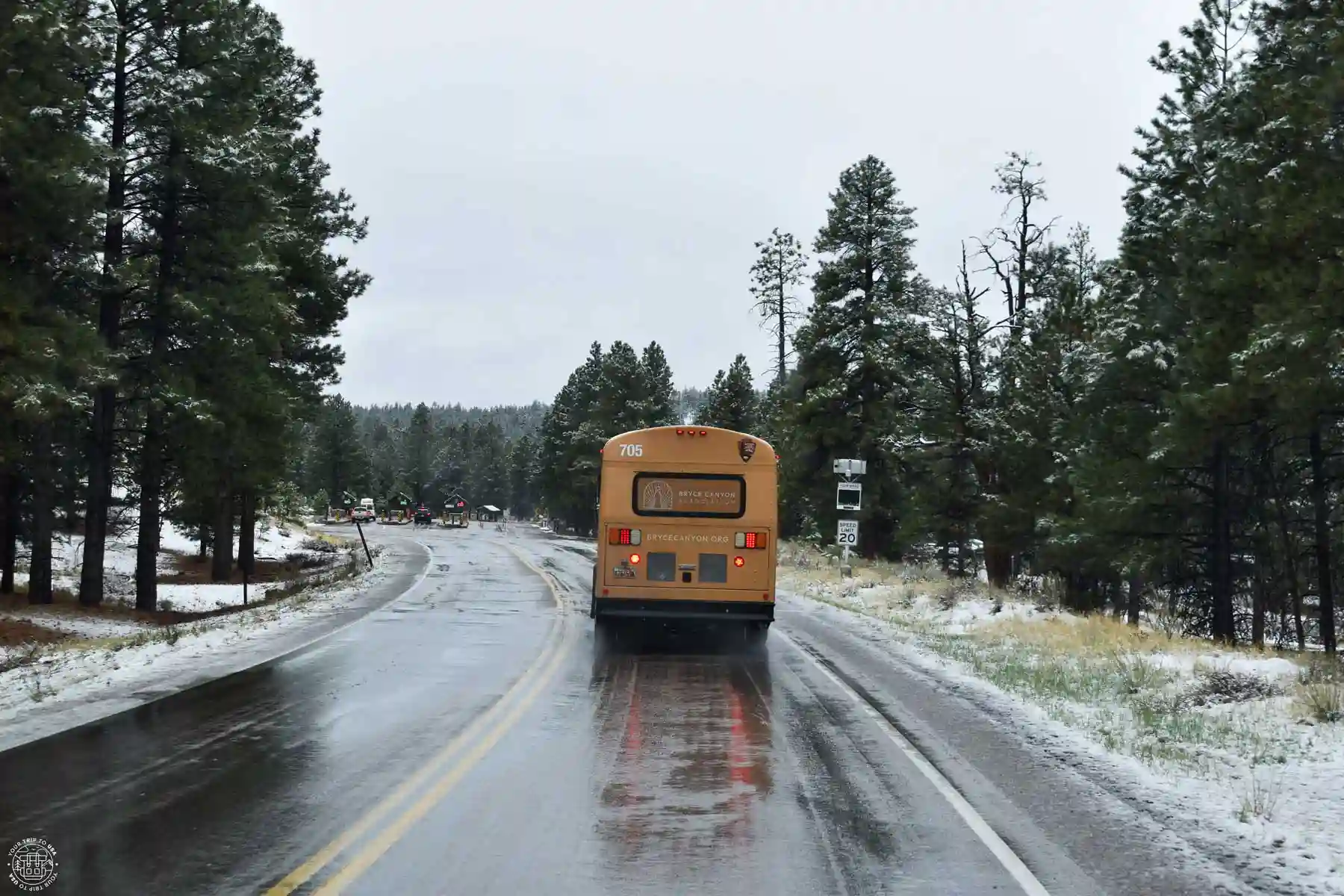
What to See Around Bryce Canyon
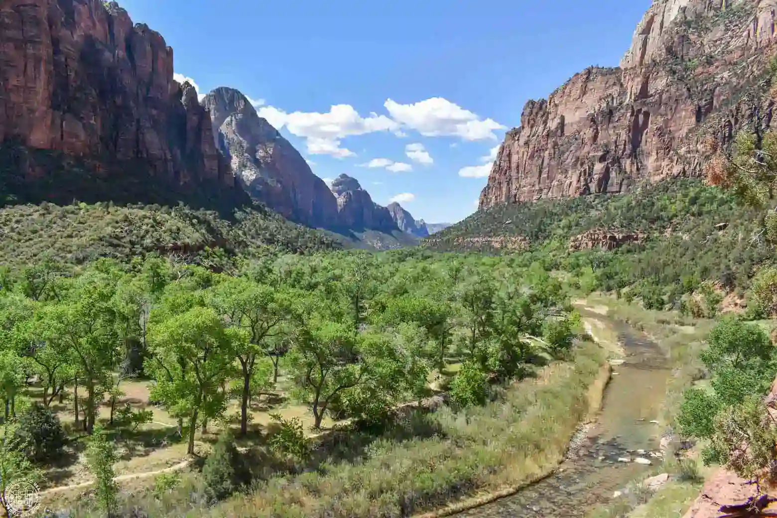
Zion National Park
It’s one of the most popular and most-visited national parks in the entire United States, famous for its incredible canyon and for its hikes along slot canyons or up seemingly impossible slopes to breathtaking viewpoints. A must-see on any trip along the U.S. Southwest! In our guide on how to visit Zion National Park, we’ll tell you everything you need to know.
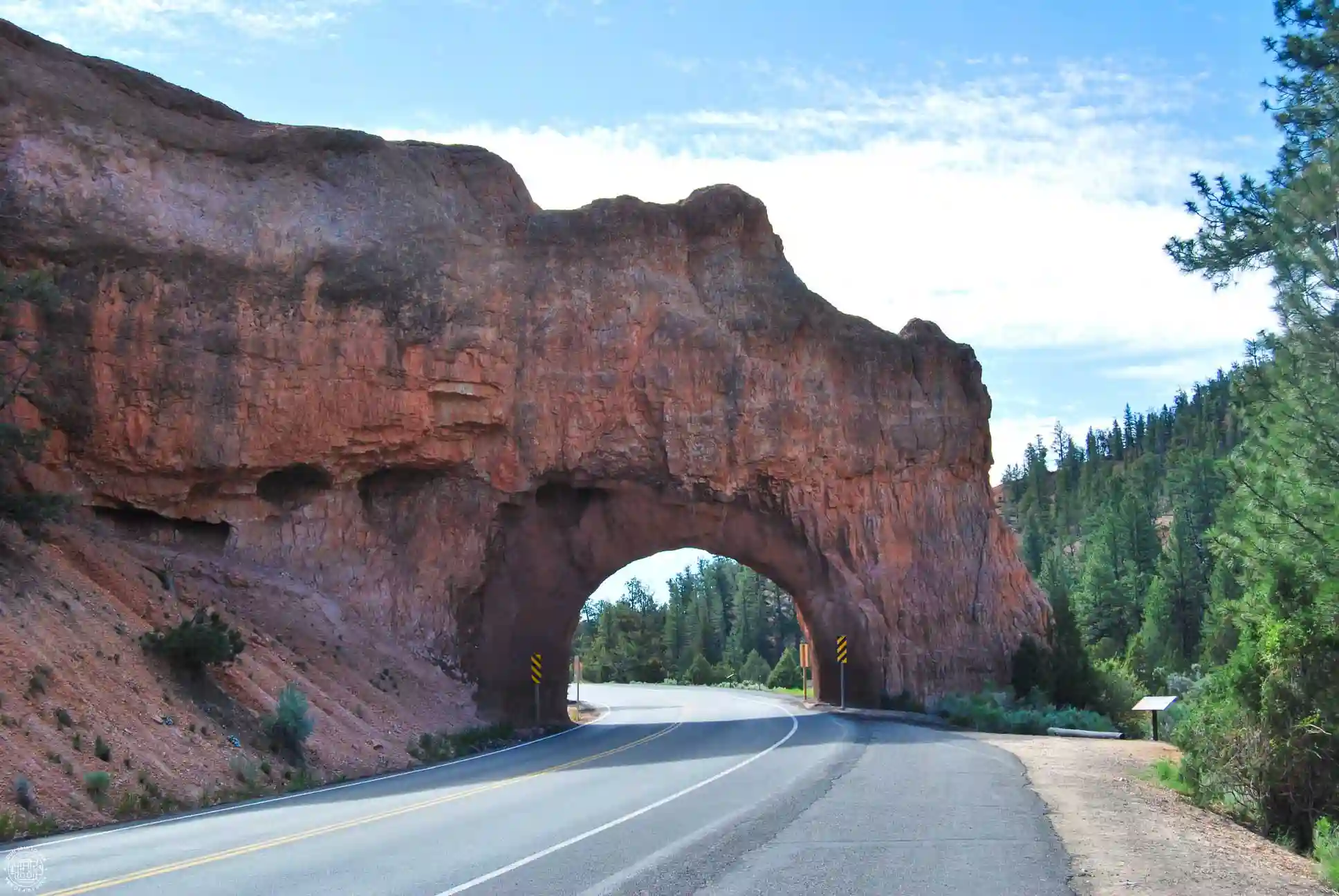
Red Canyon
Whether you're heading from Bryce Canyon to Kanab or Zion—or the other way around—you'll be surprised by some small tunnels carved into the area's reddish rock. They're part of Red Canyon, an area of the Dixie National Forest famous for its reddish rock formations. Not far from these tunnels are a couple of parking lots and a visitor center, from which trails lead to the area’s sandstone pinnacles, spires, columns, and hoodoos.
Kodachrome Basin State Park
This small state park, nestled between Bryce Canyon and the Grand Staircase-Escalante National Monument, is an ideal place for hiking through arid landscapes, exploring its strange spire- and column-shaped rock formations, camping, or stargazing. Located along Scenic Highway 12, it is accessible via the town of Cannonville.
Grand Staircase-Escalante National Monument
This is a vast natural area in southern Utah, known for its breathtaking canyons, plateaus, rock formations, and desert landscapes. It’s an ideal place to explore nature and go hiking without the crowds and hustle and bustle you find in national parks. In our exclusive guide to Things to Do in Escalante, you’ll find all the information you need to plan your visit.
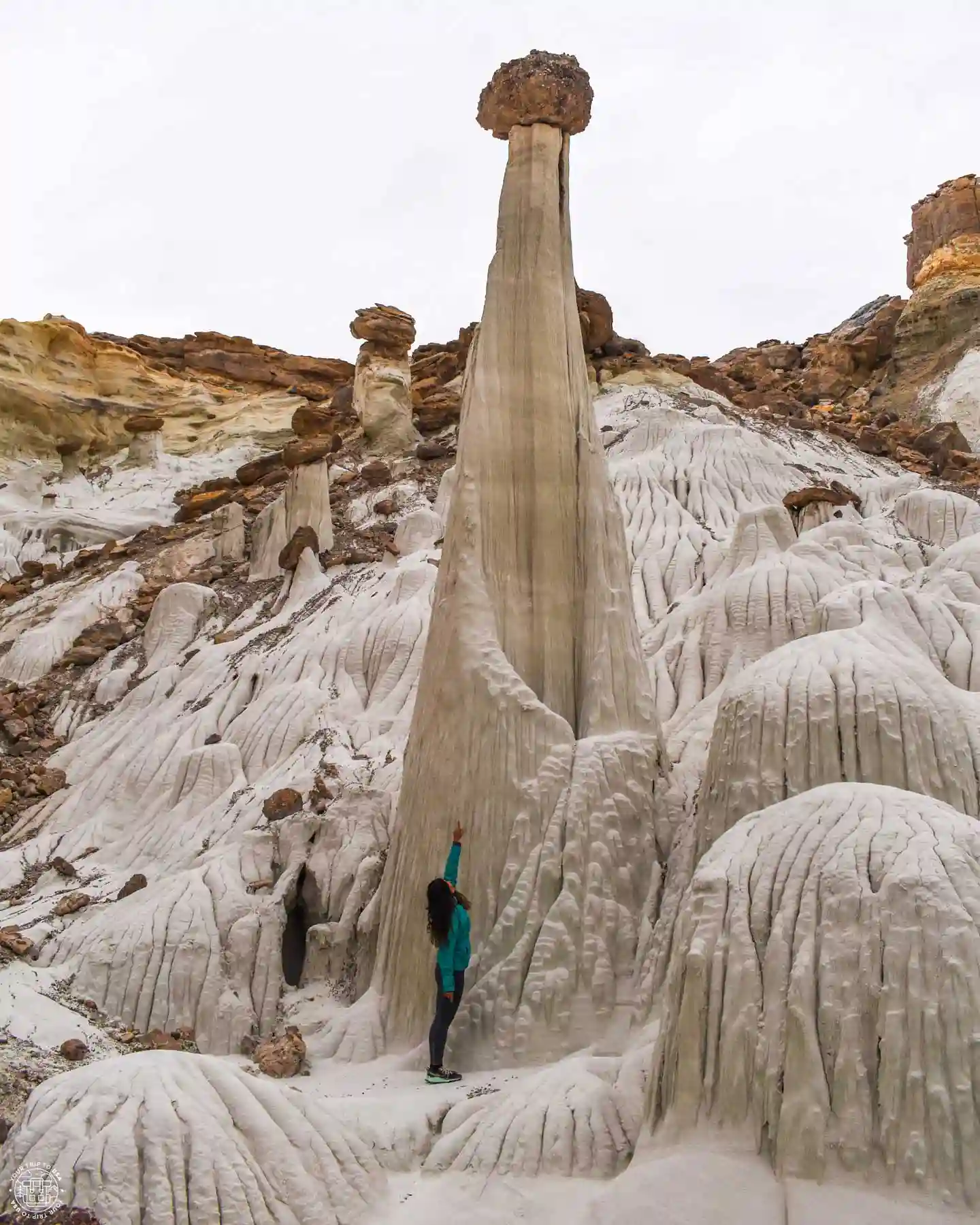
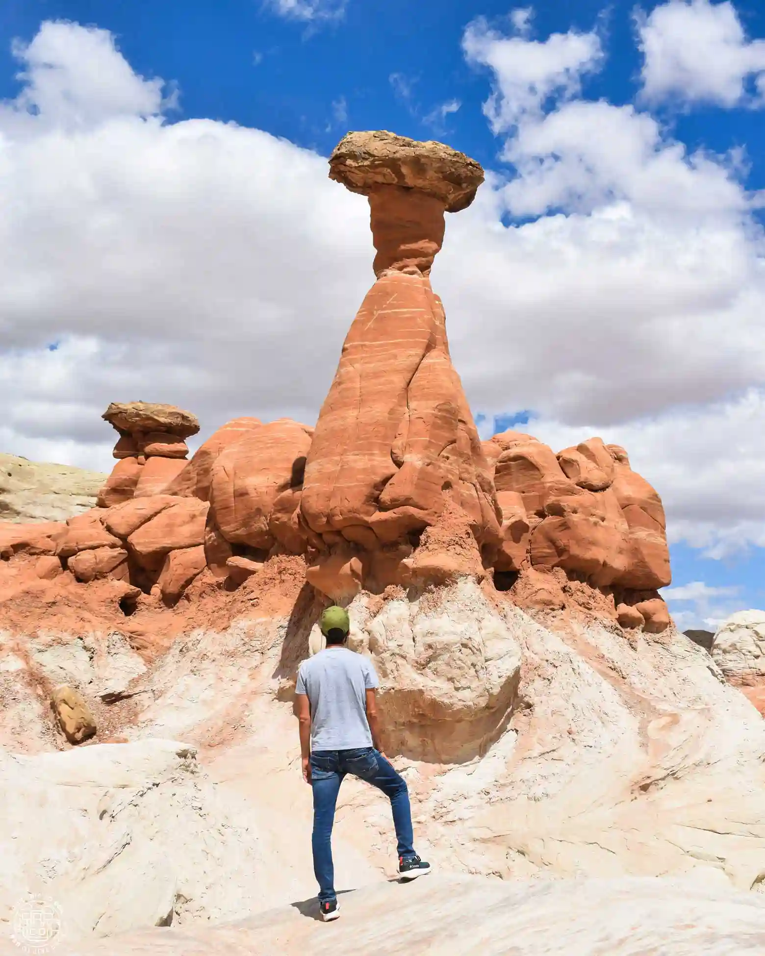
Belly of the Dragon
It is a drainage tunnel carved into the sandstone beneath Highway 89. It gets its name because water and wind erosion have shaped its walls into distinctive forms and textures that resemble a dragon’s scales. Over time, it has become a fascinating stop for tourists and photographers traveling by road between Page and Zion or Bryce.
Great Chamber
This large cavity in golden sandstone, with a massive sand dune inside, is a very special and beautiful place that has become popular on social media. But don’t be fooled—to get here, you’ll need a sturdy 4x4 with plenty of ground clearance, like a Jeep Wrangler or a buggy, to navigate the 9-mile (15 km) stretch of deep sand.
Keep in mind that once you're there, to get that famous view, you'll need to climb the dune and reach the center of the cavity. Look toward the cave's opening, and you'll get the perfect photo!
If your vehicle doesn't meet these requirements or you'd prefer to be driven by a professional, you can book this guided tour to the Great Chamber from Kanab, the nearest town.
-Meting point: Kanab
-Duration: 3 hours
😉 Free cancellation up to 24h in advance
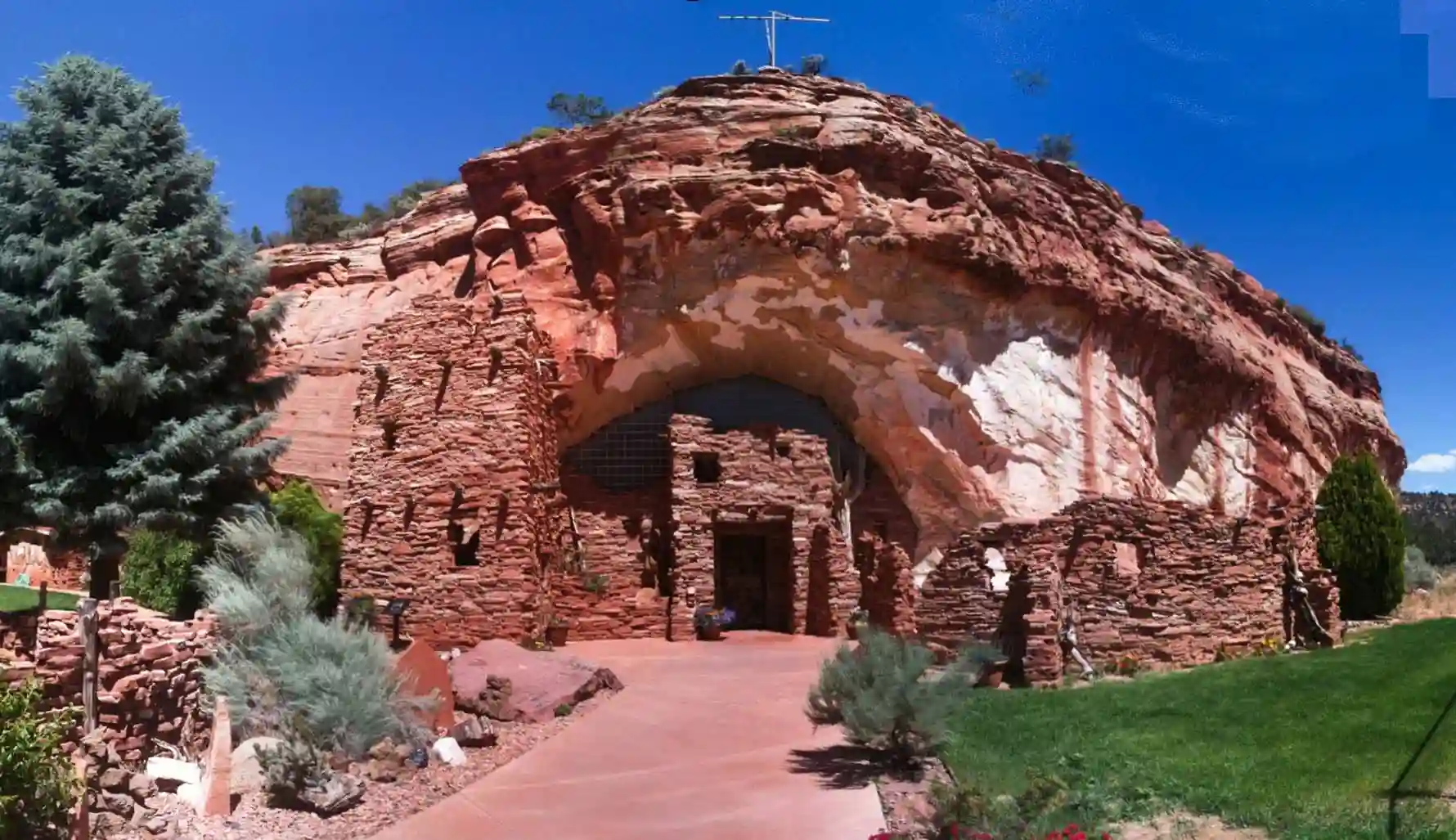
Moqui Cave
A quick stop at this interesting spot off Highway 89, north of Kanab. It is a cave naturally formed by erosion of the sandstone, where archaeological remains have been found. During the 20th century, it served as a speakeasy during Prohibition, as well as a tavern and dance hall.
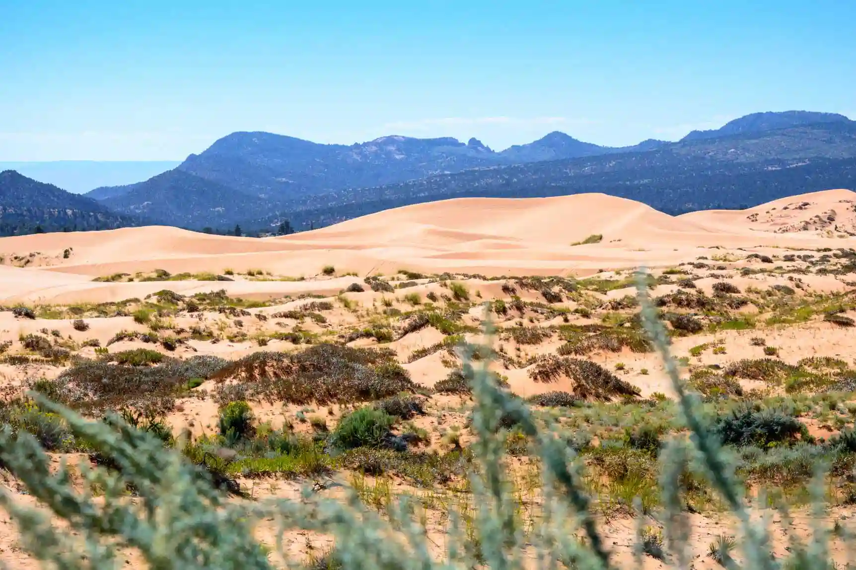
Coral Pink Sand Dunes State Park
This state park, as its name suggests, protects a large area of pink-colored dunes between Kanab and the turnoff to Zion Canyon. The dunes are estimated to be between 10,000 and 15,000 years old, and the entrance fee is $15 per vehicle. The most popular activities in the area are hiking, sandboarding, and 4x4 tours.
👉🏼 If you want to explore the dunes, you can book this buggy tour from Kanab, which includes sandboarding and a visit to a slot canyon.
Map of Things to Do in Bryce Canyon National Park
We've put together this highly detailed map showing the Things to Do in Bryce Canyon National Park, how to get there, accommodations, visitor centers, and more.
Frequently Asked Questions About Things to Do in Bryce Canyon National Park
What is the most beautiful thing to see at Bryce Canyon National Park?
The Bryce Canyon amphitheater and its stunning clusters of hoodoos are the park's main attraction. Among the most spectacular spots are Bryce Point, Inspiration Point, Sunset Point, and Sunrise Point, from which you can enjoy different views of the amphitheater.
Which viewpoints should you definitely see at Bryce Canyon?
The four must-see overlooks are Sunrise Point, Sunset Point, Inspiration Point, and Bryce Point. Each offers a different panoramic view of the hoodoos and the amphitheater of Bryce Canyon.
What to See in Bryce Canyon in One Day?
If you only have one day, hike the Rim Trail from Bryce Point to Sunrise Point, hike the Navajo Loop Trail, and, if you’re up for it, the Queens Garden Trail. If you have time and feel like it, drive along the Southern Scenic Drive and stop at the various overlooks.
How long does it take to see Bryce Canyon?
A full day gives you time to visit the main overlooks and hike some of the most popular trails. If you have two days, you can hike several trails and explore the park at a more leisurely pace.
What is the best trail in Bryce Canyon?
The Queens Garden Trail and the Navajo Loop Trail are two of the most popular trails. One of the best options is to combine both on the well-known Queens Garden + Navajo Loop, which allows you to hike among the spectacular hoodoos of the amphitheater. However, the one you absolutely must not miss is the Rim Trail.
Is Bryce Canyon National Park worth visiting?
Yes. Bryce Canyon is one of the most unique national parks in the United States and offers a landscape that is completely different from that of other parks in Utah. Its hoodoos, overlooks, and hiking trails make it a must-see stop on any trip through the Southwest.
We hope this post on Things to Do in Bryce Canyon National Park helps you enjoy this wonderful place!
Fabio Achilli, King of Hearts, Anthony Maw, CC BY 2.0, CC BY 4.0, via Wikimedia Commons